|
search place name
|
||
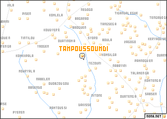
Tampoussoumdi (Bazèga, Burkina Faso)Tampoussoumdi is a town in the Bazèga region of Burkina Faso. An overview map of the region around Tampoussoumdi is displayed below.
regional and 3d topo map of Tampoussoumdi, Burkina Faso ::
Tampoussoumdi airports ::
The nearest airport is OUA - Ouagadougou, located 26.7 km north east of Tampoussoumdi.
Nearby towns ::
Kobogo (2.7km south east) //
Tézouri (3.3km south east) //
Sogué (3.4km north) //
Nyanaren (3.7km south) //
Gueswendé (3.8km east) //
Kolokom (4.1km south) //
Syoro (4.3km north east) //
Ouatinoma (4.7km north west) //
Yaningué (4.8km south) //
Ouabzougou (4.9km south) //
Lougoubissi (4.9km north east) //
Lao (4.9km north west) //
Zambanaga (5.7km north) //
Samben (5.7km west) //
Komsilga (5.8km east) //
Namassa (6.0km south) //
Baoguen (6.2km north) //
Boula (6.3km north east) //
Nagaren (6.4km north west) //
Bissigui (6.6km north) //
Tampoui (6.6km south) //
Goumsi (6.5km south east) //
Kankanguen (6.7km north east) //
Lalma (6.7km south) //
Woumtenga (7.1km north) //
Goguen (7.3km north west) //
Tangséga (7.5km south) //
Banguéma (7.5km east) //
Koaken (7.6km south east) //
[all distances 'as the bird flies' and approximate] 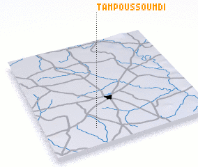 Places with similar names to Tampoussoumdi, Burkina Faso :: Disclaimer :: Information on this page comes without warranty of any kind |
||
|
Where is Tampoussoumdi? Elevation and coordinates ::
Latitude (lat): 12°11'0"N Longitude (lon): 1°41'14"W
Elevation (approx.): 331m (map arrows pan, magnifying glasses zoom) |
||
|
Visiting Tampoussoumdi? Hotel/Accommodation ::
Book a hotel in Tampoussoumdi Travel Guide ::
rental cars ::
car rental offers GPS waypoint ::
download a GPX waypoint (PoI) of Tampoussoumdi for your GPS receiver
|
||