|
search place name
|
||
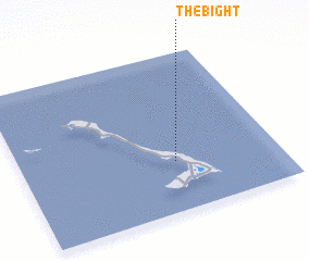
The Bight (Cat Island, Bahamas, The)The Bight is a town in the Cat Island region of Bahamas, The. An overview map of the region around The Bight is displayed below.
regional and 3d topo map of The Bight, Bahamas, The ::

The Bight airports ::
The nearest airport is SML - Stella Maris, located 82.5 km south of The Bight.
Other airports nearby include ZSA - Cockburn Town San Salvador (93.3 km east), GGT - Great Exuma Exuma Intl (96.7 km south west), RSD - Rock Sound (101.3 km north west), GGT - George Town (101.9 km south), Nearby towns ::
 Places with similar names to The Bight, Bahamas, The ::
Disclaimer :: Information on this page comes without warranty of any kind |
||
|
Where is The Bight? Elevation and coordinates ::
Latitude (lat): 24°19'0"N Longitude (lon): 75°24'0"W
Elevation (approx.): -32768m (map arrows pan, magnifying glasses zoom) |
||
|
Visiting The Bight? Hotel/Accommodation ::
Book a hotel in The Bight Travel Guide ::
rental cars ::
car rental offers GPS waypoint ::
download a GPX waypoint (PoI) of The Bight for your GPS receiver
|
||