|
search place name
|
||
Bongim (Central African Republic)Bongim is a town in Central African Republic. An overview map of the region around Bongim is displayed below.
regional and 3d topo map of Bongim, Central African Republic ::

Bongim airports ::
The nearest airport is MQQ - Moundou, located 200.0 km north of Bongim.
Nearby towns ::
Boundia III (0.0km north) //
Bobaya (1.8km east) //
Pougoro (1.8km east) //
Bon IV (1.8km west) //
Kota (1.9km south) //
Bon III (3.7km west) //
Kasa (4.1km north east) //
Poumbaidi II (5.8km east) //
Bon II (5.8km west) //
Bon I (7.6km west) //
Boaya (8.2km north east) //
Bangili (8.2km north east) //
Bounda II (8.2km south west) //
Bori (9.2km north east) //
[all distances 'as the bird flies' and approximate] 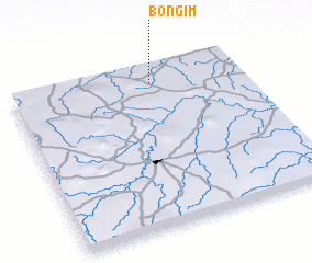 Places with similar names to Bongim, Central African Republic ::
// Ban Ngiu Mai (TH)
// Binġemma (MT)
// Binjom (TD)
// Bangima (CD)
// Bengemba (CD)
// Bongemba (CD)
// Bongemba (CD)
// Bongemba (CD)
// Bongimba (CD)
// Bongimi II (CD)
Disclaimer :: Information on this page comes without warranty of any kind |
||
|
Where is Bongim? Elevation and coordinates ::
Latitude (lat): 6°54'0"N Longitude (lon): 16°37'0"E
Elevation (approx.): 565m (map arrows pan, magnifying glasses zoom) |
||
|
Visiting Bongim? Hotel/Accommodation ::
Book a hotel in Bongim Travel Guide ::
rental cars ::
car rental offers GPS waypoint ::
download a GPX waypoint (PoI) of Bongim for your GPS receiver
|
||