|
search place name
|
||
Kéouéka Adam (Ouaddaï, Chad)Kéouéka Adam is a town in the Ouaddaï region of Chad. An overview map of the region around Kéouéka Adam is displayed below.
regional and 3d topo map of Kéouéka Adam, Chad ::

Kéouéka Adam airports ::
The nearest airport is AEH - Abeche, located 66.0 km north west of Kéouéka Adam.
Nearby towns ::
Kéouéka Mousa (2.6km south east) //
Mazembam (4.1km south west) //
Apkouta (5.4km east) //
Estéréna (6.6km south west) //
Taradona (7.4km east) //
Chokoyan (8.2km south west) //
Féné (9.2km north west) //
Ardébé (9.2km south east) //
Niala (10.3km south west) //
[all distances 'as the bird flies' and approximate] 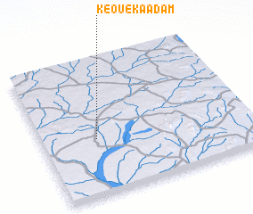 Places with similar names to Kéouéka Adam, Chad ::
// Kaugatuma (EE)
// Kougadam (ZA)
// Kukhtym (RU)
// Cook Tomb (US)
// Cocotomey (BJ)
// Koko-Tombo (BJ)
// Kaga-Doumba (CF)
// Koktem (KZ)
// Koktuma (KZ)
// Köktuma (KZ)
Disclaimer :: Information on this page comes without warranty of any kind |
||
|
Where is Kéouéka Adam? Elevation and coordinates ::
Latitude (lat): 13°25'0"N Longitude (lon): 21°16'0"E
Elevation (approx.): 603m (map arrows pan, magnifying glasses zoom) |
||
|
Visiting Kéouéka Adam? Hotel/Accommodation ::
Book a hotel in Kéouéka Adam Travel Guide ::
Buy a travel guide for Chad rental cars ::
car rental offers GPS waypoint ::
download a GPX waypoint (PoI) of Kéouéka Adam for your GPS receiver
|
||