|
search place name
|
||
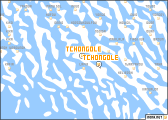
Tchongolé (Lac, Chad)Tchongolé is a town in the Lac region of Chad. An overview map of the region around Tchongolé is displayed below.
regional and 3d topo map of Tchongolé, Chad ::
Tchongolé airports ::
The nearest airport is NDJ - N'djamena Ndjamena Hassan Djamous, located 132.4 km south of Tchongolé.
Other airports nearby include MIU - Maiduguri (251.2 km south west), Nearby towns ::
Lafia (1.9km south) //
Margou (2.6km north east) //
Tchongolé (4.1km south east) //
Tchibourou (5.7km east) //
Ngoïga (6.6km north east) //
Margou Koulfou (7.4km north) //
Mélia (7.2km east) //
Karémirom (8.2km north west) //
Makilala (8.1km north east) //
Réria (9.2km north west) //
Kouloa (9.2km north west) //
[all distances 'as the bird flies' and approximate]  Places with similar names to Tchongolé, Chad ::
// Tchongol (TD)
// Tchongolé (TD)
// Tshangula (CD)
// Tshinguele (CD)
// Tshinguele (CD)
// Tchingoli (CG)
// Taech'ŏn-gol (KP)
// Ta-chuang-li (TW)
// Taech'ang-gol (KP)
// Te-sheng-liao (TW)
Disclaimer :: Information on this page comes without warranty of any kind |
||
|
Where is Tchongolé? Elevation and coordinates ::
Latitude (lat): 13°19'0"N Longitude (lon): 14°51'0"E
Elevation (approx.): 287m (map arrows pan, magnifying glasses zoom) |
||
|
Visiting Tchongolé? Hotel/Accommodation ::
Book a hotel in Tchongolé Travel Guide ::
Buy a travel guide for Chad rental cars ::
car rental offers GPS waypoint ::
download a GPX waypoint (PoI) of Tchongolé for your GPS receiver
|
||