|
search place name
|
||
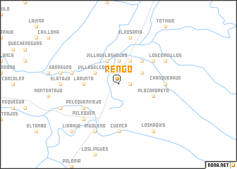
Rengo (Libertador General Bernardo OʼHiggins, Chile)Rengo is a town in the Libertador General Bernardo OʼHiggins region of Chile. An overview map of the region around Rengo is displayed below.
regional and 3d topo map of Rengo, Chile ::
Rengo airports ::
The nearest airport is SCL - Santiago Arturo Merino Benitez Intl, located 113.8 km north of Rengo.
Other airports nearby include LGS - Malargue (168.0 km south east), Nearby towns ::
Quintalba (1.5km east) //
Santa Melania (1.5km east) //
Cartagena (3.7km north) //
Villa del Cóbil (3.6km north west) //
Pueblo Hundido (4.0km north) //
Villa de las Hojas (4.0km north) //
Los Migueles (3.6km north east) //
El Convento (4.0km north) //
La Isla (4.0km north) //
El Almendra (4.8km north east) //
La Punta (4.6km west) //
Plaza Popeta (4.9km east) //
Pelequén Viejo (5.9km south west) //
Lo de Lobos (5.9km north east) //
Cuenca (7.4km south) //
Chanqueahue (6.1km east) //
Panquehue (6.4km west) //
El Rosario (7.6km north) //
Pelequén (7.2km south west) //
Rigolemo (8.0km south) //
Los Cerrillos (7.2km north east) //
Los Maquis (8.7km south east) //
Limahue (9.6km south west) //
[all distances 'as the bird flies' and approximate] 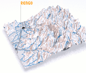 Places with similar names to Rengo, Chile ::
Disclaimer :: Information on this page comes without warranty of any kind |
||
|
Where is Rengo? Elevation and coordinates ::
Latitude (lat): 34°25'0"S Longitude (lon): 70°52'0"W
Elevation (approx.): 313m (map arrows pan, magnifying glasses zoom) |
||
|
Visiting Rengo? Hotel/Accommodation ::
Book a hotel in Rengo Travel Guide ::
Buy a travel guide for Chile rental cars ::
car rental offers GPS waypoint ::
download a GPX waypoint (PoI) of Rengo for your GPS receiver
|
||