|
search place name
|
||
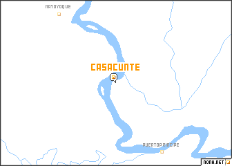
Casacunte (Departamemnto del Putumayo, Colombia)Casacunte is a town in the Departamemnto del Putumayo region of Colombia. An overview map of the region around Casacunte is displayed below.
regional and 3d topo map of Casacunte, Colombia ::
Casacunte airports ::
The nearest airport is FLA - Florencia Gustavo Artunduaga Paredes, located 117.8 km north of Casacunte.
Other airports nearby include PUU - Puerto Asis Tres De Mayo (143.2 km west), TPC - Tarapoa (147.2 km south west), SVI - San Vincente De Caguan Eduardo Falla Solano (180.6 km north), OCC - Coca Francisco De Orellana (228.5 km south west), Nearby towns ::
[all distances 'as the bird flies' and approximate] 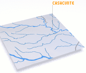 Places with similar names to Casacunte, Colombia ::
Disclaimer :: Information on this page comes without warranty of any kind |
||
|
Where is Casacunte? Elevation and coordinates ::
Latitude (lat): 0°35'0"S Longitude (lon): 75°13'0"W
Elevation (approx.): 183m (map arrows pan, magnifying glasses zoom) |
||
|
Visiting Casacunte? Hotel/Accommodation ::
Book a hotel in Casacunte Travel Guide ::
Buy a travel guide for Colombia rental cars ::
car rental offers GPS waypoint ::
download a GPX waypoint (PoI) of Casacunte for your GPS receiver
|
||