|
search place name
|
||
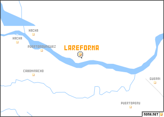
La Reforma (Departamemnto del Putumayo, Colombia)La Reforma is a town in the Departamemnto del Putumayo region of Colombia. An overview map of the region around La Reforma is displayed below.
regional and 3d topo map of La Reforma, Colombia ::
La Reforma airports ::
The nearest airport is TPC - Tarapoa, located 104.6 km west of La Reforma.
Other airports nearby include PUU - Puerto Asis Tres De Mayo (137.9 km north west), OCC - Coca Francisco De Orellana (182.0 km west), FLA - Florencia Gustavo Artunduaga Paredes (184.0 km north), PSO - Pasto Antonio Narino (265.5 km north west), Nearby towns ::
[all distances 'as the bird flies' and approximate] 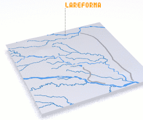 Places with similar names to La Reforma, Colombia ::
// La Reforma (CU)
// La Reforma (CU)
// La Reforma (CU)
// La Reforma (CU)
// La Reforma (US)
// La Reforma (CO)
// La Reforma (CO)
// La Reforma (CO)
// La Reforma (CO)
// La Reforma (CO)
Disclaimer :: Information on this page comes without warranty of any kind |
||
|
Where is La Reforma? Elevation and coordinates ::
Latitude (lat): 0°4'0"S Longitude (lon): 75°24'0"W
Elevation (approx.): 212m (map arrows pan, magnifying glasses zoom) |
||
|
Visiting La Reforma? Hotel/Accommodation ::
Book a hotel in La Reforma Travel Guide ::
Buy a travel guide for Colombia rental cars ::
car rental offers GPS waypoint ::
download a GPX waypoint (PoI) of La Reforma for your GPS receiver
|
||