|
search place name
|
||
Matenovillo (Departamento de Casanare, Colombia)Matenovillo is a town in the Departamento de Casanare region of Colombia. An overview map of the region around Matenovillo is displayed below.
regional and 3d topo map of Matenovillo, Colombia ::

Matenovillo airports ::
The nearest airport is AUC - Arauca Santiago Perez, located 97.2 km north of Matenovillo.
Other airports nearby include TME - Tame (150.3 km west), STD - Santo Domingo Mayor Buenaventura Vivas (230.5 km north west), LFR - La Fria (300.5 km north west), Nearby towns ::
Bellavista (4.1km north west) //
Los Curitos (4.1km north east) //
Buenavista (4.1km north west) //
Las Angosturas (5.9km north) //
La Esperanza (5.8km west) //
El Frío (7.6km west) //
Resbalón (7.8km north east) //
[all distances 'as the bird flies' and approximate] 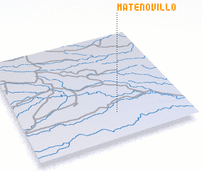 Places with similar names to Matenovillo, Colombia ::
// Madonnaville (US)
// Muttonville (US)
// Muttonville (US)
// Mettanveli (LK)
// Madan Phīla (PK)
// Médonville (FR)
// Mittainville (FR)
// Madaunghla (MM)
// Madina Fali (GW)
// Madina Fula (GW)
Disclaimer :: Information on this page comes without warranty of any kind |
||
|
Where is Matenovillo? Elevation and coordinates ::
Latitude (lat): 6°15'0"N Longitude (lon): 70°25'0"W
Elevation (approx.): 109m (map arrows pan, magnifying glasses zoom) |
||
|
Visiting Matenovillo? Hotel/Accommodation ::
Book a hotel in Matenovillo Travel Guide ::
Buy a travel guide for Colombia rental cars ::
car rental offers GPS waypoint ::
download a GPX waypoint (PoI) of Matenovillo for your GPS receiver
|
||