|
search place name
|
||
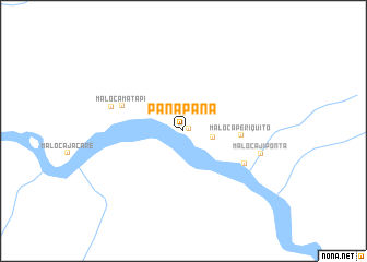
Panapana (Departamento del Vaupés, Colombia)Panapana is a town in the Departamento del Vaupés region of Colombia. An overview map of the region around Panapana is displayed below.
regional and 3d topo map of Panapana, Colombia ::
Panapana airports ::
The nearest airport is MVP - Mitu Fabio Alberto Leon Bentley, located 105.4 km west of Panapana.
Nearby towns ::
Maloca Arara (0.6km east) //
Maloca Jandu (1.8km north) //
Maloca Puraque Ponta (2.3km north) //
Maloca Japu (3.1km east) //
Maloca Periquito (5.9km east) //
Maloca Matapi (6.8km west) //
Tamaquarí (7.1km south east) //
Maloca Tapira Geral (7.7km west) //
Maloca Ji Ponta (8.2km east) //
[all distances 'as the bird flies' and approximate]  Places with similar names to Panapana, Colombia ::
// Ponpon (US)
// Pana Pana (CO)
// Pene-Pania (CD)
// Pinpin (GT)
// Pūnpūn (IN)
// Penpen (ID)
// Pahnā Pahn (IR)
// Panapana (VE)
// Panapana (VE)
// Pinipino (VE)
Disclaimer :: Information on this page comes without warranty of any kind |
||
|
Where is Panapana? Elevation and coordinates ::
Latitude (lat): 1°3'48"N Longitude (lon): 69°18'23"W
Elevation (approx.): 127m (map arrows pan, magnifying glasses zoom) |
||
|
Visiting Panapana? Hotel/Accommodation ::
Book a hotel in Panapana Travel Guide ::
Buy a travel guide for Colombia rental cars ::
car rental offers GPS waypoint ::
download a GPX waypoint (PoI) of Panapana for your GPS receiver
|
||