|
search place name
|
||
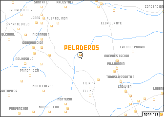
Peladeros (Magdalena, Colombia)Peladeros is a town in the Magdalena region of Colombia. An overview map of the region around Peladeros is displayed below.
regional and 3d topo map of Peladeros, Colombia ::
Peladeros airports ::
The nearest airport is MGN - Magangue Baracoa, located 99.4 km south west of Peladeros.
Other airports nearby include VUP - Valledupar Alfonso Lopez Pumarejo (121.4 km north east), CZU - Corozal Las Brujas (143.5 km west), BAQ - Barranquilla Ernesto Cortissoz (161.2 km north west), OCV - Ocana Aguas Claras (163.8 km south east), Nearby towns ::
La Consulta (6.1km south east) //
Filipina (6.9km south) //
Noquería (7.3km west) //
La Ranchila (7.9km east) //
Nueva Estación (8.0km east) //
Villa María (8.2km east) //
La Parroquia (8.7km south) //
El Limón (8.7km south) //
El Brillante (9.7km north east) //
Puerto Limón (9.8km north west) //
Porvenir (10.2km north west) //
Todos Los Santos (10.2km south east) //
Montelíbano (11.4km south west) //
[all distances 'as the bird flies' and approximate] 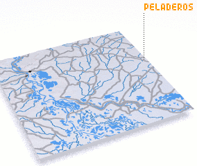 Places with similar names to Peladeros, Colombia ::
// Peliteiros (PT)
// Poldras (PT)
// Poldras (PT)
// Palo de Rosa (MX)
// Plateros (MX)
// Plateros (MX)
// Peldersī (IR)
// Piladeros (HN)
// Plateros (PE)
// Plateros (PE)
Disclaimer :: Information on this page comes without warranty of any kind |
||
|
Where is Peladeros? Elevation and coordinates ::
Latitude (lat): 9°38'37"N Longitude (lon): 74°1'0"W
Elevation (approx.): 92m (map arrows pan, magnifying glasses zoom) |
||
|
Visiting Peladeros? Hotel/Accommodation ::
Book a hotel in Peladeros Travel Guide ::
Buy a travel guide for Colombia rental cars ::
car rental offers GPS waypoint ::
download a GPX waypoint (PoI) of Peladeros for your GPS receiver
|
||