|
search place name
|
||
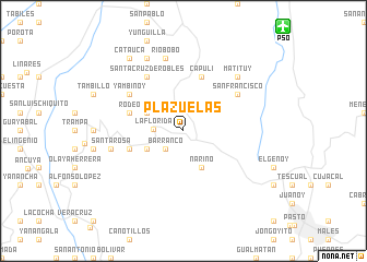
Plazuelas (Nariño, Colombia)Plazuelas is a town in the Nariño region of Colombia. An overview map of the region around Plazuelas is displayed below.
regional and 3d topo map of Plazuelas, Colombia ::
Plazuelas airports ::
The nearest airport is PSO - Pasto Antonio Narino, located 14.8 km north east of Plazuelas.
Other airports nearby include IPI - Ipiales San Luis (58.1 km south west), TUA - Tulcan Teniente Coronel Luis A Mantilla (65.2 km south west), PUU - Puerto Asis Tres De Mayo (131.8 km south east), GPI - Guapi Juan Casiano (151.7 km north), Nearby towns ::
Barranco (2.6km south west) //
La Florida (3.0km west) //
Nariño (4.1km south east) //
Panchindo (4.1km south west) //
Cacique (4.1km north west) //
Capuli (5.9km north) //
Rodeo (5.9km west) //
Santa Bárbara (5.9km west) //
Yambinoy (6.7km north west) //
San Francisco (6.7km north east) //
Santa Cruz de Robles (6.7km north west) //
Santa Rosa (7.6km west) //
Río Bobo (7.6km north) //
Matituy (7.9km north east) //
Arboleda (8.3km north west) //
Catauca (9.3km north west) //
[all distances 'as the bird flies' and approximate] 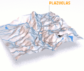 Places with similar names to Plazuelas, Colombia ::
// Plazzoles (IT)
// Palazuelos (ES)
// Palazuelos (ES)
// Plazuelas (SV)
// Plazuelas (MX)
// Plazuelas (HN)
// Palasilis (PH)
Disclaimer :: Information on this page comes without warranty of any kind |
||
|
Where is Plazuelas? Elevation and coordinates ::
Latitude (lat): 1°18'0"N Longitude (lon): 77°23'0"W
Elevation (approx.): 2381m (map arrows pan, magnifying glasses zoom) |
||
|
Visiting Plazuelas? Hotel/Accommodation ::
Book a hotel in Plazuelas Travel Guide ::
Buy a travel guide for Colombia rental cars ::
car rental offers GPS waypoint ::
download a GPX waypoint (PoI) of Plazuelas for your GPS receiver
|
||