|
search place name
|
||
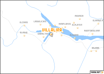
Villalira (Boyacá, Colombia)Villalira is a town in the Boyacá region of Colombia. An overview map of the region around Villalira is displayed below.
regional and 3d topo map of Villalira, Colombia ::
Villalira airports ::
The nearest airport is STD - Santo Domingo Mayor Buenaventura Vivas, located 61.5 km north of Villalira.
Other airports nearby include TME - Tame (72.1 km south east), SVZ - San Antonio Del Tachira (99.3 km north), CUC - Cucuta Camilo Daza (111.3 km north west), BGA - Bucaramanga Palonegro (121.2 km west), Nearby towns ::
La Araucana (2.6km north east) //
La Ceiba (2.7km north) //
Gibraltar (3.1km west) //
La Punta (3.4km east) //
La Cañaguata (4.2km north east) //
El Banco (4.3km north) //
Cobaría (4.4km north) //
Cubará (4.8km north east) //
Miraflores (5.9km north east) //
Las Delicias (6.1km north west) //
El Guamo (8.2km east) //
La Argentina (9.4km north east) //
[all distances 'as the bird flies' and approximate] 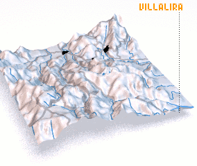 Places with similar names to Villalira, Colombia ::
// Valilar (AZ)
// Valea Oilor (RO)
// Veliler (TR)
// Villalar (ES)
// Vilaller (ES)
// Villalier (FR)
// Villelaure (FR)
// Villa Luro (AR)
Disclaimer :: Information on this page comes without warranty of any kind |
||
|
Where is Villalira? Elevation and coordinates ::
Latitude (lat): 7°0'43"N Longitude (lon): 72°5'36"W
Elevation (approx.): 357m (map arrows pan, magnifying glasses zoom) |
||
|
Visiting Villalira? Hotel/Accommodation ::
Book a hotel in Villalira Travel Guide ::
Buy a travel guide for Colombia rental cars ::
car rental offers GPS waypoint ::
download a GPX waypoint (PoI) of Villalira for your GPS receiver
|
||