|
search place name
|
||
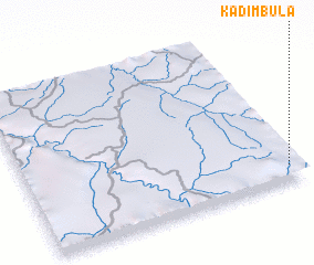
Kadimbula (Congo, Democratic Republic of the)Kadimbula is a town in Congo, Democratic Republic of the. An overview map of the region around Kadimbula is displayed below.
regional and 3d topo map of Kadimbula, Congo, Democratic Republic of the ::

Kadimbula airports ::
The nearest airport is MEG - Malanje, located 255.8 km south west of Kadimbula.
Nearby towns ::
 Places with similar names to Kadimbula, Congo, Democratic Republic of the ::
// Goodmill (US)
// Guadamello (IT)
// Gądów Mały (PL)
// Guty Małe (PL)
// Gwda Mała (PL)
// Kutemeli (RU)
// Godéambolè (CF)
// Kadamalia (TD)
// Cotomal (CO)
// Kadimbula (CD)
Disclaimer :: Information on this page comes without warranty of any kind |
||
|
Where is Kadimbula? Elevation and coordinates ::
Latitude (lat): 7°54'0"S Longitude (lon): 17°58'0"E
Elevation (approx.): 818m (map arrows pan, magnifying glasses zoom) |
||
|
Visiting Kadimbula? Hotel/Accommodation ::
Book a hotel in Kadimbula Travel Guide ::
rental cars ::
car rental offers GPS waypoint ::
download a GPX waypoint (PoI) of Kadimbula for your GPS receiver
|
||