|
search place name
|
||
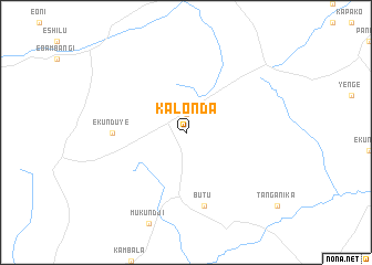
Kalonda (Congo, Democratic Republic of the)Kalonda is a town in Congo, Democratic Republic of the. An overview map of the region around Kalonda is displayed below.
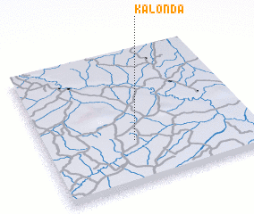
regional and 3d topo map of Kalonda, Congo, Democratic Republic of the ::
Kalonda airports ::
The nearest airport is MJM - Mbuji-mayi Mbuji Mayi, located 212.5 km west of Kalonda.
Nearby towns ::
 Places with similar names to Kalonda, Congo, Democratic Republic of the ::
Disclaimer :: Information on this page comes without warranty of any kind |
||
|
Where is Kalonda? Elevation and coordinates ::
Latitude (lat): 5°40'0"S Longitude (lon): 25°26'0"E
Elevation (approx.): 700m (map arrows pan, magnifying glasses zoom) |
||
|
Visiting Kalonda? Hotel/Accommodation ::
Book a hotel in Kalonda Travel Guide ::
rental cars ::
car rental offers GPS waypoint ::
download a GPX waypoint (PoI) of Kalonda for your GPS receiver
|
||