|
search place name
|
||
Monteverde (Limón, Costa Rica)Monteverde is a town in the Limón region of Costa Rica. An overview map of the region around Monteverde is displayed below.
regional and 3d topo map of Monteverde, Costa Rica ::

Monteverde airports ::
The nearest airport is LIO - Limon Intl, located 47.8 km east of Monteverde.
Other airports nearby include SJO - San Jose Juan Santamaria Intl (85.8 km west), XQP - Quepos La Managua (105.4 km south west), CHX - Changuinola Cap Manuel Nino Intl (123.1 km south east), PMZ - Palmar Sur (127.1 km south), Nearby towns ::
Cimarrones (1.8km east) //
Río Hondo (3.6km east) //
Pacuarito (3.6km west) //
Indiana Tres (4.1km north west) //
Waldeck (5.5km east) //
Cultivez (5.6km north) //
Madre de Dios (5.8km east) //
Indiana Dos (5.8km west) //
San Alberto Nuevo (6.7km north west) //
Canadá (7.8km north west) //
Manila (8.3km north east) //
Santa Lucía (9.2km north west) //
[all distances 'as the bird flies' and approximate] 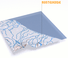 Places with similar names to Monteverde, Costa Rica ::
// Montverde (US)
// Monteverde (IT)
// Monte Verde (CU)
// Monte Verde (CU)
// Montefuerte (ES)
// Montefurado (ES)
// Mount Verd (US)
// Montfort (US)
// Montford (US)
// Montfort (CO)
Disclaimer :: Information on this page comes without warranty of any kind |
||
|
Where is Monteverde? Elevation and coordinates ::
Latitude (lat): 10°6'0"N Longitude (lon): 83°26'0"W
Elevation (approx.): 49m (map arrows pan, magnifying glasses zoom) |
||
|
Visiting Monteverde? Hotel/Accommodation ::
Book a hotel in Monteverde Travel Guide ::
Buy a travel guide for Costa Rica rental cars ::
car rental offers GPS waypoint ::
download a GPX waypoint (PoI) of Monteverde for your GPS receiver
|
||