|
search place name
|
||
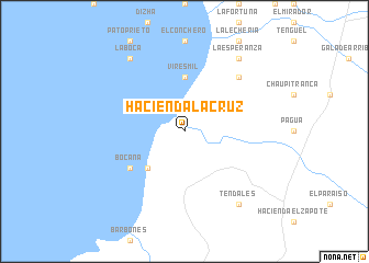
Hacienda La Cruz (El Oro, Ecuador)Hacienda La Cruz is a town in the El Oro region of Ecuador. An overview map of the region around Hacienda La Cruz is displayed below.
regional and 3d topo map of Hacienda La Cruz, Ecuador ::
Hacienda La Cruz airports ::
The nearest airport is MCH - Machala General Manuel Serrano, located 23.1 km south west of Hacienda La Cruz.
Other airports nearby include TBP - Tumbes Pedro Canga (77.2 km south west), CUE - Cuenca Mariscal Lamar (100.4 km east), GYE - Guayaquil Jose Joaquin De Olmedo Intl (102.4 km north), SNC - Salinas General Ulpiano Paez (158.1 km north west), Nearby towns ::
Bajo Alto (5.2km south west) //
Viresmil (5.6km north) //
Bocana (6.7km south west) //
Hacienda Buenavista (7.9km north east) //
La Boca (9.3km north west) //
La Esperanza (9.3km north east) //
Tendales (9.3km south east) //
[all distances 'as the bird flies' and approximate] 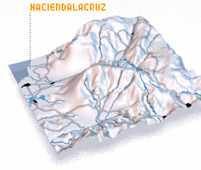 Places with similar names to Hacienda La Cruz, Ecuador ::
// Hacienda La Cruz (EC)
// Hacienda La Cruz (SV)
Disclaimer :: Information on this page comes without warranty of any kind |
||
|
Where is Hacienda La Cruz? Elevation and coordinates ::
Latitude (lat): 3°5'0"S Longitude (lon): 79°52'0"W
Elevation (approx.): 1m (map arrows pan, magnifying glasses zoom) |
||
|
Visiting Hacienda La Cruz? Hotel/Accommodation ::
Book a hotel in Hacienda La Cruz Travel Guide ::
Buy a travel guide for Ecuador rental cars ::
car rental offers GPS waypoint ::
download a GPX waypoint (PoI) of Hacienda La Cruz for your GPS receiver
|
||