|
search place name
|
||
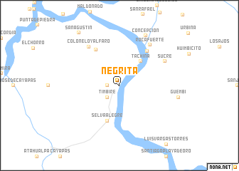
Negrita (Esmeraldas, Ecuador)Negrita is a town in the Esmeraldas region of Ecuador. An overview map of the region around Negrita is displayed below.
regional and 3d topo map of Negrita, Ecuador ::
Negrita airports ::
The nearest airport is TCO - Tumaco La Florida, located 94.6 km north of Negrita.
Other airports nearby include UIO - Quito Mariscal Sucre Intl (129.5 km south), TUA - Tulcan Teniente Coronel Luis A Mantilla (130.1 km east), IPI - Ipiales San Luis (133.5 km east), PSO - Pasto Antonio Narino (181.6 km east), Nearby towns ::
Barro Colorado (1.9km west) //
Las Peñas (2.6km north east) //
Timbiré (2.6km south west) //
Tachina (5.0km north east) //
Selva Alegre (5.9km south) //
Pueblito (6.7km north west) //
San José de Tagua (6.9km north east) //
Colón Eloy Alfaro (7.8km north west) //
Rocafuerte (8.0km north east) //
Sucre (8.1km north east) //
Concepción (8.8km north east) //
San Agustín (10.4km north west) //
[all distances 'as the bird flies' and approximate] 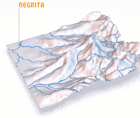 Places with similar names to Negrita, Ecuador ::
Disclaimer :: Information on this page comes without warranty of any kind |
||
|
Where is Negrita? Elevation and coordinates ::
Latitude (lat): 0°58'0"S Longitude (lon): 78°52'0"W
Elevation (approx.): 25m (map arrows pan, magnifying glasses zoom) |
||
|
Visiting Negrita? Hotel/Accommodation ::
Book a hotel in Negrita Travel Guide ::
Buy a travel guide for Ecuador rental cars ::
car rental offers GPS waypoint ::
download a GPX waypoint (PoI) of Negrita for your GPS receiver
|
||