|
search place name
|
||
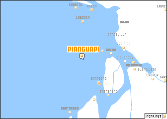
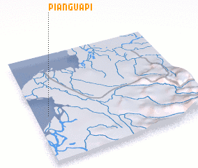
Pianguapí (Esmeraldas, Ecuador)Pianguapí is a town in the Esmeraldas region of Ecuador. An overview map of the region around Pianguapí is displayed below.
regional and 3d topo map of Pianguapí, Ecuador ::
Pianguapí airports ::
The nearest airport is TCO - Tumaco La Florida, located 46.1 km north east of Pianguapí.
Other airports nearby include TUA - Tulcan Teniente Coronel Luis A Mantilla (151.2 km south east), IPI - Ipiales San Luis (152.3 km south east), GPI - Guapi Juan Casiano (169.2 km north east), UIO - Quito Mariscal Sucre Intl (180.5 km south), Nearby towns ::
 Places with similar names to Pianguapí, Ecuador ::
Disclaimer :: Information on this page comes without warranty of any kind |
||
|
Where is Pianguapí? Elevation and coordinates ::
Latitude (lat): 1°26'0"N Longitude (lon): 78°55'0"W
Elevation (approx.): -32768m (map arrows pan, magnifying glasses zoom) |
||
|
Visiting Pianguapí? Hotel/Accommodation ::
Book a hotel in Pianguapí Travel Guide ::
Buy a travel guide for Ecuador rental cars ::
car rental offers GPS waypoint ::
download a GPX waypoint (PoI) of Pianguapí for your GPS receiver
|
||