|
search place name
|
||
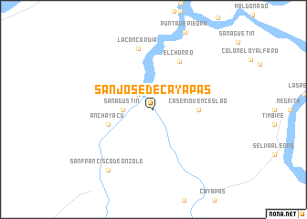
San José de Cayapas (Esmeraldas, Ecuador)San José de Cayapas is a town in the Esmeraldas region of Ecuador. An overview map of the region around San José de Cayapas is displayed below.
regional and 3d topo map of San José de Cayapas, Ecuador ::
San José de Cayapas airports ::
The nearest airport is TCO - Tumaco La Florida, located 98.4 km north of San José de Cayapas.
Other airports nearby include UIO - Quito Mariscal Sucre Intl (135.9 km south east), TUA - Tulcan Teniente Coronel Luis A Mantilla (146.7 km east), IPI - Ipiales San Luis (150.1 km east), PSO - Pasto Antonio Narino (197.8 km east), Nearby towns ::
Palmira (2.6km north west) //
San Agustín (3.7km west) //
Caserío Venceslao (5.6km east) //
Anchayacu (5.9km west) //
El Chorro (6.6km north east) //
La Concordia (7.6km north) //
San Francisco de Onzole (9.3km south west) //
[all distances 'as the bird flies' and approximate] 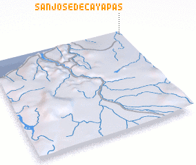 Places with similar names to San José de Cayapas, Ecuador :: Disclaimer :: Information on this page comes without warranty of any kind |
||
|
Where is San José de Cayapas? Elevation and coordinates ::
Latitude (lat): 0°58'0"S Longitude (lon): 79°1'0"W
Elevation (approx.): 39m (map arrows pan, magnifying glasses zoom) |
||
|
Visiting San José de Cayapas? Hotel/Accommodation ::
Book a hotel in San José de Cayapas Travel Guide ::
Buy a travel guide for Ecuador rental cars ::
car rental offers GPS waypoint ::
download a GPX waypoint (PoI) of San José de Cayapas for your GPS receiver
|
||