|
search place name
|
||
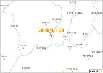
Shiramentza (Morona-Santiago, Ecuador)Shiramentza is a town in the Morona-Santiago region of Ecuador. An overview map of the region around Shiramentza is displayed below.
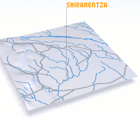
regional and 3d topo map of Shiramentza, Ecuador ::
Shiramentza airports ::
The nearest airport is XMS - Macas Coronel E Carvajal, located 80.3 km north west of Shiramentza.
Other airports nearby include CUE - Cuenca Mariscal Lamar (159.9 km west), ATF - Ambato Chachoan (204.4 km north west), Nearby towns ::
 Places with similar names to Shiramentza, Ecuador ::
// Cheremenets (RU)
Disclaimer :: Information on this page comes without warranty of any kind |
||
|
Where is Shiramentza? Elevation and coordinates ::
Latitude (lat): 2°44'55"S Longitude (lon): 77°33'12"W
Elevation (approx.): 226m (map arrows pan, magnifying glasses zoom) |
||
|
Visiting Shiramentza? Hotel/Accommodation ::
Book a hotel in Shiramentza Travel Guide ::
Buy a travel guide for Ecuador rental cars ::
car rental offers GPS waypoint ::
download a GPX waypoint (PoI) of Shiramentza for your GPS receiver
|
||