|
search place name
|
||
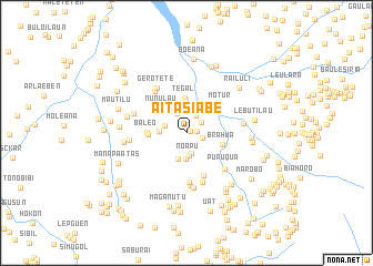
Aitasiabe (Timor Timur, East Timor)Aitasiabe is a town in the Timor Timur region of East Timor. An overview map of the region around Aitasiabe is displayed below.
regional and 3d topo map of Aitasiabe, East Timor ::
Aitasiabe airports ::
The nearest airport is DIL - Dili Presidente Nicolau Lobato Intl, located 49.1 km north east of Aitasiabe.
Nearby towns ::
Pasarema (0.4km north east) //
Suriubu (1.0km east) //
Mubaa (1.6km east) //
Poetete (1.8km north east) //
Malilia (2.0km north east) //
Biateo (2.1km south) //
Batuubu (2.1km north west) //
Melemaga (2.2km west) //
Noapu (2.3km south) //
Atubuti (2.6km south) //
Poerema (2.8km west) //
Tuturema (2.8km south) //
Cailaco (2.9km north) //
Tirimos (3.0km north) //
Waudu (3.2km north) //
Tegal (3.5km north) //
Nunulau (3.5km north west) //
Brahua (3.7km east) //
Lesuaben (3.8km west) //
Baleo (3.9km west) //
Motur (4.5km north east) //
Manarema (4.7km south) //
Haareme (5.0km south) //
Folete (5.2km south) //
Banerema (5.2km north west) //
Puruqua (5.3km south east) //
Daruasa (5.3km south) //
Gerotete (5.4km north west) //
Ohana (5.6km south) //
[all distances 'as the bird flies' and approximate] 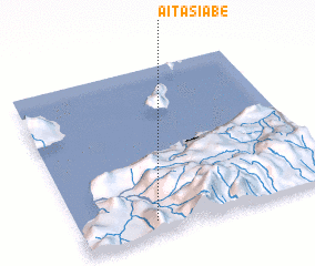 Places with similar names to Aitasiabe, East Timor ::
Disclaimer :: Information on this page comes without warranty of any kind |
||
|
Where is Aitasiabe? Elevation and coordinates ::
Latitude (lat): 8°55'29"S Longitude (lon): 125°17'29"E
Elevation (approx.): 622m (map arrows pan, magnifying glasses zoom) |
||
|
Visiting Aitasiabe? Hotel/Accommodation ::
Book a hotel in Aitasiabe Travel Guide ::
Buy a travel guide for East Timor rental cars ::
car rental offers GPS waypoint ::
download a GPX waypoint (PoI) of Aitasiabe for your GPS receiver
|
||