|
search place name
|
||
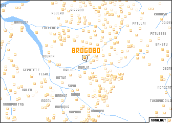
Brogobo (Timor Timur, East Timor)Brogobo is a town in the Timor Timur region of East Timor. An overview map of the region around Brogobo is displayed below.
regional and 3d topo map of Brogobo, East Timor ::
Brogobo airports ::
The nearest airport is DIL - Dili Presidente Nicolau Lobato Intl, located 38.4 km north east of Brogobo.
Nearby towns ::
Hieotmano (1.1km east) //
Leodato (1.6km east) //
Manucati (1.6km north) //
Hatugau (2.3km north east) //
Realia (2.4km south) //
Riaheu (2.4km east) //
Kailiti (2.6km north east) //
Leulara (2.9km south east) //
Haeheu (3.0km north) //
Betupu (3.1km north) //
Susurema (3.3km south west) //
Raibo (3.5km south) //
Ramiah (3.5km south) //
Sauria (3.6km north east) //
Orbeto (3.7km south) //
Galaimata (3.7km south east) //
Porema (3.9km south) //
Ahegara (4.0km south east) //
Rialaun (3.9km east) //
Manulete (4.0km north) //
Aihatadiukraic (4.1km north) //
Roto (4.0km east) //
Bibaro (4.1km south) //
Hunda (4.1km north east) //
Assi (4.3km east) //
Leborema (4.4km north east) //
Aihatadiu Leten (4.4km north) //
Merigi (4.4km east) //
Railuli (4.5km south west) //
[all distances 'as the bird flies' and approximate] 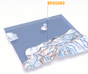 Places with similar names to Brogobo, East Timor ::
Disclaimer :: Information on this page comes without warranty of any kind |
||
|
Where is Brogobo? Elevation and coordinates ::
Latitude (lat): 8°51'29"S Longitude (lon): 125°22'12"E
Elevation (approx.): 751m (map arrows pan, magnifying glasses zoom) |
||
|
Visiting Brogobo? Hotel/Accommodation ::
Book a hotel in Brogobo Travel Guide ::
Buy a travel guide for East Timor rental cars ::
car rental offers GPS waypoint ::
download a GPX waypoint (PoI) of Brogobo for your GPS receiver
|
||