|
search place name
|
||
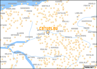
Caturlau (Timor Timur, East Timor)Caturlau is a town in the Timor Timur region of East Timor. An overview map of the region around Caturlau is displayed below.
regional and 3d topo map of Caturlau, East Timor ::
Caturlau airports ::
The nearest airport is DIL - Dili Presidente Nicolau Lobato Intl, located 28.0 km north east of Caturlau.
Nearby towns ::
Raemean (0.7km south) //
Urahou (1.3km south west) //
Manohatu (1.3km south west) //
Tidibesse (1.6km east) //
Dosmagar (1.7km south west) //
Dosmagar Kraik (1.8km north west) //
Arle (2.0km south east) //
Oeleo (2.3km south west) //
Sisicolema (2.6km north east) //
Cirilelo (2.7km north) //
Nounanaro (2.8km east) //
Matanova (3.0km south west) //
Laulema (3.0km west) //
Groto (3.2km south east) //
Groto (3.3km south east) //
Caicassico (3.3km north east) //
Leborema (3.4km south east) //
Maukali (3.4km south) //
Lauraehou (3.5km east) //
Buburia (3.7km south west) //
Boibau (3.7km north west) //
Hatulialete (3.8km west) //
Gaelema (3.8km south east) //
Fatubessi (4.0km south) //
Railete (4.1km south) //
Sapso (4.1km south west) //
Mangkir (4.1km north east) //
Manati (4.2km north west) //
Hatupa (4.2km south east) //
[all distances 'as the bird flies' and approximate] 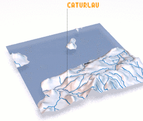 Places with similar names to Caturlau, East Timor ::
Disclaimer :: Information on this page comes without warranty of any kind |
||
|
Where is Caturlau? Elevation and coordinates ::
Latitude (lat): 8°42'48"S Longitude (lon): 125°19'58"E
Elevation (approx.): 910m (map arrows pan, magnifying glasses zoom) |
||
|
Visiting Caturlau? Hotel/Accommodation ::
Book a hotel in Caturlau Travel Guide ::
Buy a travel guide for East Timor rental cars ::
car rental offers GPS waypoint ::
download a GPX waypoint (PoI) of Caturlau for your GPS receiver
|
||