|
search place name
|
||
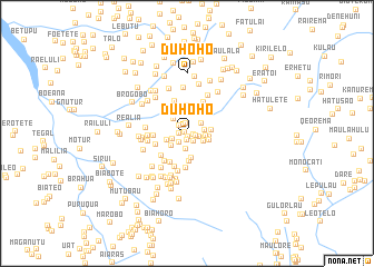
Duhoho (Timor Timur, East Timor)Duhoho is a town in the Timor Timur region of East Timor. An overview map of the region around Duhoho is displayed below.
regional and 3d topo map of Duhoho, East Timor ::
Duhoho airports ::
The nearest airport is DIL - Dili Presidente Nicolau Lobato Intl, located 39.3 km north of Duhoho.
Nearby towns ::
Hohulu (0.2km north west) //
Lauana (0.3km south east) //
Roulu (0.7km south) //
Kirilelo (0.7km east) //
Raebou (0.8km west) //
Alosain (0.9km east) //
Leubasa (1.0km south east) //
Tunupahi (1.0km north) //
Pahiluha (1.2km north west) //
Limiluhi (1.2km south west) //
Hatugeo (1.3km east) //
Raelau (1.6km south) //
Luhanaro (1.6km west) //
Baulesiria (1.8km north east) //
Manukoliria (1.8km east) //
Hatulete (1.8km east) //
Hatumede (1.8km south east) //
Kolkoli (1.9km east) //
Rigoa (2.0km south west) //
Merigi (2.0km north west) //
Olekata (2.0km west) //
Mausormata (2.3km east) //
Katraikraik (2.3km east) //
Liabe (2.5km south) //
Meallumu (2.4km east) //
Poetail (2.7km north) //
Roto (2.8km north west) //
Koileki (2.8km south) //
Ahegara (3.3km west) //
[all distances 'as the bird flies' and approximate] 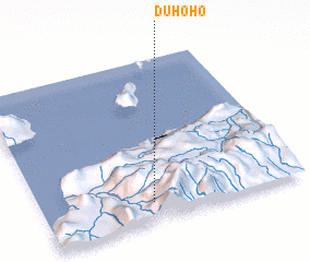 Places with similar names to Duhoho, East Timor ::
Disclaimer :: Information on this page comes without warranty of any kind |
||
|
Where is Duhoho? Elevation and coordinates ::
Latitude (lat): 8°53'9"S Longitude (lon): 125°25'10"E
Elevation (approx.): 1409m (map arrows pan, magnifying glasses zoom) |
||
|
Visiting Duhoho? Hotel/Accommodation ::
Book a hotel in Duhoho Travel Guide ::
Buy a travel guide for East Timor rental cars ::
car rental offers GPS waypoint ::
download a GPX waypoint (PoI) of Duhoho for your GPS receiver
|
||