|
search place name
|
||
Eonae (Timor Timur, East Timor)Eonae is a town in the Timor Timur region of East Timor. An overview map of the region around Eonae is displayed below.
regional and 3d topo map of Eonae, East Timor ::

Eonae airports ::
The nearest airport is DIL - Dili Presidente Nicolau Lobato Intl, located 147.5 km north east of Eonae.
Nearby towns ::
Oenino (1.0km south) //
Netenoke (1.5km south) //
Buneu (2.0km east) //
Taolen (3.1km south east) //
Bimelo (3.3km south) //
Kiumina (3.4km south west) //
Bihala (3.5km south west) //
Faiteno (3.5km west) //
Noafafo (3.5km west) //
Oepuah (3.6km north west) //
Fautmet (3.7km south west) //
Nuslao (3.8km south west) //
Kafun (3.8km south) //
Kiubose (3.8km south) //
Kiutunis (3.8km west) //
Nunuhle (3.9km south) //
Kiukole (3.9km south) //
Oelila (3.9km west) //
Tumepat (4.0km west) //
Oepoko (4.0km west) //
Noeninan (4.0km west) //
Menoah (4.0km west) //
Oelole (4.1km south west) //
Nopai (4.1km west) //
Kanete (4.1km north west) //
Kinat (4.2km south east) //
Palink (4.2km west) //
Cutete (4.3km east) //
Benoko (4.3km west) //
[all distances 'as the bird flies' and approximate] 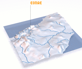 Places with similar names to Eonae, East Timor ::
Disclaimer :: Information on this page comes without warranty of any kind |
||
|
Where is Eonae? Elevation and coordinates ::
Latitude (lat): 9°15'9"S Longitude (lon): 124°23'12"E
Elevation (approx.): 449m (map arrows pan, magnifying glasses zoom) |
||
|
Visiting Eonae? Hotel/Accommodation ::
Book a hotel in Eonae Travel Guide ::
Buy a travel guide for East Timor rental cars ::
car rental offers GPS waypoint ::
download a GPX waypoint (PoI) of Eonae for your GPS receiver
|
||