|
search place name
|
||
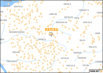
Manisu (Timor Timur, East Timor)Manisu is a town in the Timor Timur region of East Timor. An overview map of the region around Manisu is displayed below.
regional and 3d topo map of Manisu, East Timor ::
Manisu airports ::
The nearest airport is DIL - Dili Presidente Nicolau Lobato Intl, located 20.9 km north east of Manisu.
Nearby towns ::
Aihatutu (0.8km north east) //
Fatada (1.1km north east) //
Marobo (1.4km north west) //
Falimano (1.4km east) //
Gleno (1.6km south) //
Hutilarang (2.3km south east) //
Paschei (2.4km south) //
Kaitarahei (2.4km north east) //
Gombei (2.5km south) //
Caissahe (2.5km north west) //
Hotklokat (2.6km south east) //
Vilanova (2.9km south east) //
Urluli (3.0km south) //
Mangero (3.1km south) //
Mangero (3.2km south) //
Urletepoho (3.2km south) //
Titibuti (3.4km west) //
Berluli (3.4km south west) //
Talimoro (3.5km south) //
Raibiute (3.9km south west) //
Renatu (3.8km south west) //
Ergoi (3.9km south east) //
Kamal Raihei (4.0km north) //
Kokoa (4.0km east) //
Suileo (4.1km south) //
Tarmausoru (4.1km north west) //
Raidu (4.2km north) //
Sosoher (4.2km south) //
Tlibugeo (4.3km south west) //
[all distances 'as the bird flies' and approximate] 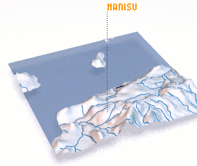 Places with similar names to Manisu, East Timor ::
Disclaimer :: Information on this page comes without warranty of any kind |
||
|
Where is Manisu? Elevation and coordinates ::
Latitude (lat): 8°42'39"S Longitude (lon): 125°25'51"E
Elevation (approx.): 688m (map arrows pan, magnifying glasses zoom) |
||
|
Visiting Manisu? Hotel/Accommodation ::
Book a hotel in Manisu Travel Guide ::
Buy a travel guide for East Timor rental cars ::
car rental offers GPS waypoint ::
download a GPX waypoint (PoI) of Manisu for your GPS receiver
|
||