|
search place name
|
||
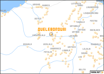
Queleborouai (Timor Timur, East Timor)Queleborouai is a town in the Timor Timur region of East Timor. An overview map of the region around Queleborouai is displayed below.
regional and 3d topo map of Queleborouai, East Timor ::
Queleborouai airports ::
The nearest airport is DIL - Dili Presidente Nicolau Lobato Intl, located 94.2 km west of Queleborouai.
Nearby towns ::
Venilale (0.3km north east) //
Umatunau (0.7km south) //
Bercoli (1.0km south east) //
Nunudoco (1.2km east) //
Betonau (1.4km south east) //
Uaitunau (1.4km north east) //
Uaibeana (1.9km north) //
Kairiri (2.1km north) //
Kairiri (2.4km north east) //
Uatubelaoli (2.8km south east) //
Caihula (3.0km east) //
Neohoo (3.1km south east) //
Liaoli (3.3km south) //
Bodohoo (3.3km south east) //
Ossoguigui (3.4km east) //
Venilale (3.8km south) //
Uaitoki (4.4km south east) //
Hoinawai (4.4km west) //
Caitaranau (4.6km west) //
Lolinunu (4.6km west) //
Waidau (4.6km west) //
Caidenulale (4.7km west) //
Uaitalibu (4.9km south) //
Uatulari (4.9km west) //
Maukale (4.9km north east) //
Nunoti (4.9km west) //
Umannaico (5.0km west) //
Naulale (5.0km west) //
Umaanaico (5.2km south) //
[all distances 'as the bird flies' and approximate] 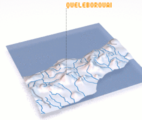 Places with similar names to Queleborouai, East Timor ::
Disclaimer :: Information on this page comes without warranty of any kind |
||
|
Where is Queleborouai? Elevation and coordinates ::
Latitude (lat): 8°35'5"S Longitude (lon): 126°22'47"E
Elevation (approx.): 687m (map arrows pan, magnifying glasses zoom) |
||
|
Visiting Queleborouai? Hotel/Accommodation ::
Book a hotel in Queleborouai Travel Guide ::
Buy a travel guide for East Timor rental cars ::
car rental offers GPS waypoint ::
download a GPX waypoint (PoI) of Queleborouai for your GPS receiver
|
||