|
search place name
|
||
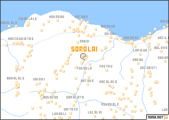
Sorolai (Timor Timur, East Timor)Sorolai is a town in the Timor Timur region of East Timor. An overview map of the region around Sorolai is displayed below.
regional and 3d topo map of Sorolai, East Timor ::
Sorolai airports ::
The nearest airport is DIL - Dili Presidente Nicolau Lobato Intl, located 104.1 km west of Sorolai.
Nearby towns ::
Visto (0.5km north east) //
Manulai (0.5km south west) //
Ossoluga (0.9km south west) //
Laherubi (0.9km north east) //
Rahameta (1.0km north east) //
Buibau (1.4km north west) //
Waidua (1.5km south east) //
Loidua (2.2km north) //
Uatubala (2.5km south west) //
Tudoula (2.7km south) //
Latua (2.8km north) //
Uaimoribere (3.2km north west) //
Builai (3.2km north west) //
Loidua (3.2km north west) //
Samalakuliba (3.3km north west) //
Rabei (3.4km north) //
Cailara (3.4km north west) //
Samalakuliba (3.4km north west) //
Alala (3.5km west) //
Waturau (3.7km west) //
Afagua Manufai (3.8km west) //
Lilouarica (4.0km south) //
Leuque Racabu (4.0km east) //
Afacaimau (4.1km west) //
Lutumutu (4.3km north) //
Muassufa (4.4km north east) //
Uatubala (4.6km south west) //
Ledatame (5.0km west) //
Lauiboronai (5.2km north east) //
[all distances 'as the bird flies' and approximate] 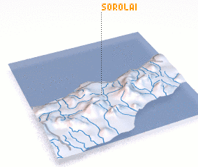 Places with similar names to Sorolai, East Timor ::
Disclaimer :: Information on this page comes without warranty of any kind |
||
|
Where is Sorolai? Elevation and coordinates ::
Latitude (lat): 8°31'11"S Longitude (lon): 126°28'13"E
Elevation (approx.): 63m (map arrows pan, magnifying glasses zoom) |
||
|
Visiting Sorolai? Hotel/Accommodation ::
Book a hotel in Sorolai Travel Guide ::
Buy a travel guide for East Timor rental cars ::
car rental offers GPS waypoint ::
download a GPX waypoint (PoI) of Sorolai for your GPS receiver
|
||