|
search place name
|
||
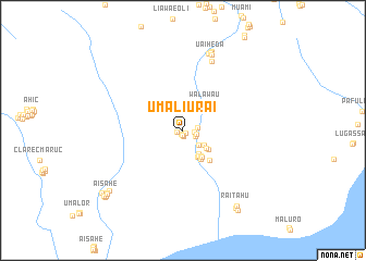
Umaliurai (Timor Timur, East Timor)Umaliurai is a town in the Timor Timur region of East Timor. An overview map of the region around Umaliurai is displayed below.
regional and 3d topo map of Umaliurai, East Timor ::
Umaliurai airports ::
The nearest airport is DIL - Dili Presidente Nicolau Lobato Intl, located 97.2 km west of Umaliurai.
Nearby towns ::
Uaibobo (0.4km south west) //
Lululae (0.4km south east) //
Uatulesu (0.5km south) //
Umabooh (0.6km west) //
Meuai (0.6km south) //
Siralari (1.2km east) //
Manehat (1.3km east) //
Caraubalo (1.4km east) //
Lameklaran (1.4km south east) //
Viqueque (1.4km east) //
Mamulak (1.5km east) //
Cabirooan (2.2km south east) //
Hasabut (2.7km south east) //
Bahafau (2.9km south east) //
Vessa (3.0km south east) //
Luwa (3.1km south east) //
Ainauain (3.2km south east) //
Makdean (3.2km south east) //
Raihun (3.3km south east) //
Caraubalo (3.3km south east) //
Bahabunak (3.4km south east) //
Maroman (3.5km south east) //
Walawau (3.5km north east) //
Buanurak (3.6km north east) //
Naibaroc (4.0km south east) //
Samaleo (7.7km north) //
Kaitulai (8.3km north) //
Uaiheda (8.3km north) //
Loihuno (8.4km north) //
[all distances 'as the bird flies' and approximate] 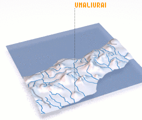 Places with similar names to Umaliurai, East Timor ::
Disclaimer :: Information on this page comes without warranty of any kind |
||
|
Where is Umaliurai? Elevation and coordinates ::
Latitude (lat): 8°51'16"S Longitude (lon): 126°21'7"E
Elevation (approx.): 74m (map arrows pan, magnifying glasses zoom) |
||
|
Visiting Umaliurai? Hotel/Accommodation ::
Book a hotel in Umaliurai Travel Guide ::
Buy a travel guide for East Timor rental cars ::
car rental offers GPS waypoint ::
download a GPX waypoint (PoI) of Umaliurai for your GPS receiver
|
||