|
search place name
|
||
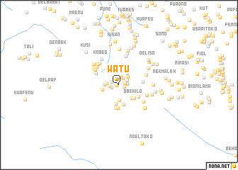
Watu (Timor Timur, East Timor)Watu is a town in the Timor Timur region of East Timor. An overview map of the region around Watu is displayed below.
regional and 3d topo map of Watu, East Timor ::
Watu airports ::
The nearest airport is DIL - Dili Presidente Nicolau Lobato Intl, located 165.8 km north east of Watu.
Nearby towns ::
Fofe (0.4km west) //
Tabe (0.7km north) //
Fot (0.9km east) //
Pássabe (1.0km east) //
Fauteso (1.2km north west) //
Huaen (1.2km north east) //
Kuef (1.2km west) //
Nunkolo (1.2km east) //
Oelete (1.2km north west) //
Meta (1.4km north) //
Nuahake (1.4km west) //
Usafin (1.5km north east) //
Hueleo (1.9km north east) //
Oebu (1.9km west) //
Naituna (2.2km north east) //
Fuames (2.2km west) //
Nuael (2.3km south) //
Oelajaob (2.6km north east) //
Nuakbat (2.7km west) //
Nunpo (2.8km south east) //
Hautunis (2.9km south) //
Baheka (3.2km south) //
Obekilo (3.2km south east) //
Oelangkai (3.3km north west) //
Balu (3.6km south east) //
Tubumtasa (3.7km south) //
Nilulat (3.7km south) //
Sunkaen (3.7km east) //
Nunfomolo (4.0km north west) //
[all distances 'as the bird flies' and approximate] 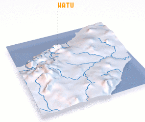 Places with similar names to Watu, East Timor ::
Disclaimer :: Information on this page comes without warranty of any kind |
||
|
Where is Watu? Elevation and coordinates ::
Latitude (lat): 9°28'1"S Longitude (lon): 124°20'4"E
Elevation (approx.): 656m (map arrows pan, magnifying glasses zoom) |
||
|
Visiting Watu? Hotel/Accommodation ::
Book a hotel in Watu Travel Guide ::
Buy a travel guide for East Timor rental cars ::
car rental offers GPS waypoint ::
download a GPX waypoint (PoI) of Watu for your GPS receiver
|
||