|
search place name
|
||
La Toma (La Libertad, El Salvador)La Toma is a town in the La Libertad region of El Salvador. An overview map of the region around La Toma is displayed below.
regional and 3d topo map of La Toma, El Salvador ::

La Toma airports ::
The nearest airport is SAL - San Salvador El Salvador Intl, located 51.5 km south east of La Toma.
Other airports nearby include GUA - Guatemala City La Aurora (156.9 km north west), CBV - Coban (216.2 km north west), SAP - San Pedro Sula La Mesa Intl (230.0 km north east), TEA - Tela (288.5 km north east), Nearby towns ::
El Puente (1.9km south) //
Quezaltepeque (1.9km south east) //
Colonia Palmira (2.4km south) //
Santa Rosa (2.4km east) //
El Señor (2.6km south) //
Platanillos (2.7km east) //
Colonia San Judas (2.9km south east) //
Santa Rosa (3.2km south east) //
Agua Caliente (3.5km north east) //
El Cerrito (3.7km south east) //
Girón (3.8km north east) //
Primavera (3.9km south west) //
El Jícaro (3.9km north west) //
La Joya (4.0km north west) //
El Cambio (4.1km south east) //
Santa Rosa (4.2km north) //
San Francisco (4.3km south) //
Santa Teresa (4.5km north west) //
Loma El Espino (4.6km north east) //
Joya del Maguey (4.6km north) //
Sitio de Los Nejapa (4.8km north) //
Valle El Cerro (5.1km north west) //
Las Mercedes (5.3km north east) //
San Matías (5.5km north west) //
Galera Quemada (5.5km east) //
San Lorenzo (5.9km west) //
El Salitre (6.2km south east) //
Hacienda La Isla (6.1km west) //
La Loma (6.4km north west) //
[all distances 'as the bird flies' and approximate] 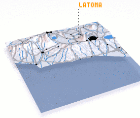 Places with similar names to La Toma, El Salvador ::
Disclaimer :: Information on this page comes without warranty of any kind |
||
|
Where is La Toma? Elevation and coordinates ::
Latitude (lat): 13°51'0"N Longitude (lon): 89°17'0"W
Elevation (approx.): 395m (map arrows pan, magnifying glasses zoom) |
||
|
Visiting La Toma? Hotel/Accommodation ::
Book a hotel in La Toma Travel Guide ::
Buy a travel guide for El Salvador rental cars ::
car rental offers GPS waypoint ::
download a GPX waypoint (PoI) of La Toma for your GPS receiver
|
||