|
search place name
|
||
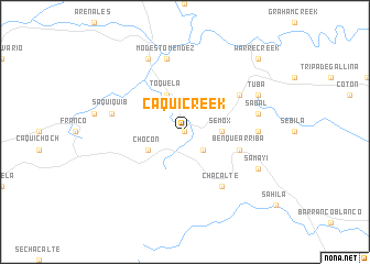
Caqui Creek (Izabal, Guatemala)Caqui Creek is a town in the Izabal region of Guatemala. An overview map of the region around Caqui Creek is displayed below.
regional and 3d topo map of Caqui Creek, Guatemala ::
Caqui Creek airports ::
The nearest airport is CBV - Coban, located 135.0 km west of Caqui Creek.
Other airports nearby include SAP - San Pedro Sula La Mesa Intl (142.7 km east), TEA - Tela (184.8 km east), GUA - Guatemala City La Aurora (197.4 km south west), BZE - Belize City Philip S W Goldson Intl (213.0 km north east), Nearby towns ::
Tamagás (NaNkm north) //
Cruzchén (2.6km south east) //
Benque Abajo (2.6km south east) //
Semox (3.6km east) //
Chocón (4.0km south west) //
Toquelá (4.1km north west) //
Benque Arriba (5.7km east) //
Nimblajá (6.5km north east) //
Chacalté (6.6km south east) //
Toquelá (7.1km east) //
Modesto Méndez (7.6km north) //
Sabal (7.4km east) //
Saquiquib (7.4km west) //
Chocchoc (8.2km north west) //
Tuba (8.0km north east) //
Samayí (8.0km south east) //
Warre Creek (10.3km north east) //
[all distances 'as the bird flies' and approximate] 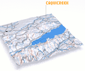 Places with similar names to Caqui Creek, Guatemala ::
// Küçükayrık (TR)
// Kokakoriki (NZ)
Disclaimer :: Information on this page comes without warranty of any kind |
||
|
Where is Caqui Creek? Elevation and coordinates ::
Latitude (lat): 15°49'0"N Longitude (lon): 89°12'0"W
Elevation (approx.): 46m (map arrows pan, magnifying glasses zoom) |
||
|
Visiting Caqui Creek? Hotel/Accommodation ::
Book a hotel in Caqui Creek Travel Guide ::
Buy a travel guide for Guatemala rental cars ::
car rental offers GPS waypoint ::
download a GPX waypoint (PoI) of Caqui Creek for your GPS receiver
|
||