|
search place name
|
||
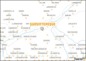
Guasintepeque (Zacapa, Guatemala)Guasintepeque is a town in the Zacapa region of Guatemala. An overview map of the region around Guasintepeque is displayed below.
regional and 3d topo map of Guasintepeque, Guatemala ::
Guasintepeque airports ::
The nearest airport is CBV - Coban, located 116.2 km west of Guasintepeque.
Other airports nearby include GUA - Guatemala City La Aurora (133.4 km south west), SAP - San Pedro Sula La Mesa Intl (163.8 km east), SAL - San Salvador El Salvador Intl (185.5 km south), TEA - Tela (220.3 km east), Nearby towns ::
Cacao (2.6km south east) //
Shinshín (2.6km north east) //
Las Carretas (2.6km north east) //
Los Achiotes (5.6km north) //
Santiago (5.7km west) //
Guineal (5.8km south) //
Piedras Azules (5.7km east) //
Huacal Majada (6.5km south west) //
Mayuelas (6.6km north east) //
Gualán (6.6km north east) //
Guaranjá (6.5km south east) //
El Rosario (7.2km west) //
Arenal (7.6km north) //
Quinteros (7.7km south west) //
Tajaral (8.2km south west) //
La Laguna (8.1km south east) //
Capulín (8.1km south west) //
El Filo (9.2km south east) //
Tabacal (9.1km north west) //
Las Cañas (10.3km south east) //
[all distances 'as the bird flies' and approximate] 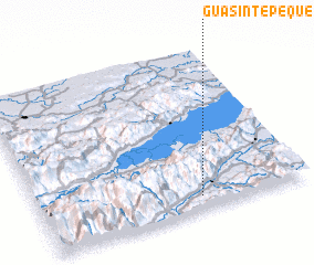 Places with similar names to Guasintepeque, Guatemala ::
// Csanádapáca (HU)
Disclaimer :: Information on this page comes without warranty of any kind |
||
|
Where is Guasintepeque? Elevation and coordinates ::
Latitude (lat): 15°5'0"N Longitude (lon): 89°24'0"W
Elevation (approx.): 297m (map arrows pan, magnifying glasses zoom) |
||
|
Visiting Guasintepeque? Hotel/Accommodation ::
Book a hotel in Guasintepeque Travel Guide ::
Buy a travel guide for Guatemala rental cars ::
car rental offers GPS waypoint ::
download a GPX waypoint (PoI) of Guasintepeque for your GPS receiver
|
||