|
search place name
|
||
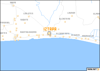
Iztapa (Escuintla, Guatemala)Iztapa is a town in the Escuintla region of Guatemala. An overview map of the region around Iztapa is displayed below.
regional and 3d topo map of Iztapa, Guatemala ::
Iztapa airports ::
The nearest airport is GUA - Guatemala City La Aurora, located 74.5 km north of Iztapa.
Other airports nearby include CBV - Coban (173.0 km north), SAL - San Salvador El Salvador Intl (186.8 km east), TAP - Tapachula Intl (203.1 km north west), Nearby towns ::
Puerto Viejo (0.3km south) //
Atitán (0.4km north east) //
Las Morenas (0.7km north) //
Colonia La Providencia (0.9km north west) //
Atitancito (1.9km east) //
Colonia Santa Marta (2.5km west) //
El Chile (3.9km north east) //
El Carrizo (4.1km west) //
Buena Vista (4.1km west) //
El Conacaste (4.8km east) //
Ceiba Mocha (4.9km west) //
El Guayabo (7.1km east) //
El Castaño (7.6km north east) //
Puerta de Hierro (7.7km west) //
Los Lotes (10.6km north west) //
La Unión (10.9km north east) //
[all distances 'as the bird flies' and approximate] 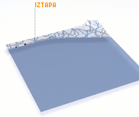 Places with similar names to Iztapa, Guatemala :: Disclaimer :: Information on this page comes without warranty of any kind |
||
|
Where is Iztapa? Elevation and coordinates ::
Latitude (lat): 13°56'0"N Longitude (lon): 90°42'27"W
Elevation (approx.): 3m (map arrows pan, magnifying glasses zoom) |
||
|
Visiting Iztapa? Hotel/Accommodation ::
Book a hotel in Iztapa Travel Guide ::
Buy a travel guide for Guatemala rental cars ::
car rental offers GPS waypoint ::
download a GPX waypoint (PoI) of Iztapa for your GPS receiver
|
||