|
search place name
|
||
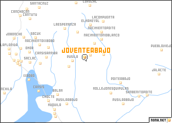
Joventé Abajo (Petén, Guatemala)Joventé Abajo is a town in the Petén region of Guatemala. An overview map of the region around Joventé Abajo is displayed below.
regional and 3d topo map of Joventé Abajo, Guatemala ::
Joventé Abajo airports ::
The nearest airport is CBV - Coban, located 143.4 km south west of Joventé Abajo.
Other airports nearby include SAP - San Pedro Sula La Mesa Intl (167.2 km south east), BZE - Belize City Philip S W Goldson Intl (182.9 km north east), TEA - Tela (199.3 km east), GUA - Guatemala City La Aurora (221.3 km south west), Nearby towns ::
Joventé Arriba (1.6km north east) //
Pusilá (2.8km west) //
Chichijá (3.7km west) //
Poité (4.0km east) //
Joventé (4.4km north east) //
Nacimiento Río Blanco (5.8km north east) //
Santo Domingo (6.6km north) //
Nacimiento Poité (7.2km north east) //
El Mameyal (8.0km north) //
La Esperanza (8.5km north west) //
Cansís Arriba (8.3km west) //
Nacimiento Cansís (8.4km west) //
Mollejón Esquipulas (8.6km south east) //
Poité Abajo (8.6km south east) //
Balam (9.3km south west) //
La Compuerta (9.4km north) //
Chacté (11.7km south west) //
[all distances 'as the bird flies' and approximate] 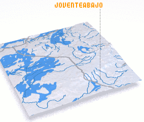 Places with similar names to Joventé Abajo, Guatemala :: Disclaimer :: Information on this page comes without warranty of any kind |
||
|
Where is Joventé Abajo? Elevation and coordinates ::
Latitude (lat): 16°10'59"N Longitude (lon): 89°17'23"W
Elevation (approx.): 356m (map arrows pan, magnifying glasses zoom) |
||
|
Visiting Joventé Abajo? Hotel/Accommodation ::
Book a hotel in Joventé Abajo Travel Guide ::
Buy a travel guide for Guatemala rental cars ::
car rental offers GPS waypoint ::
download a GPX waypoint (PoI) of Joventé Abajo for your GPS receiver
|
||