|
search place name
|
||
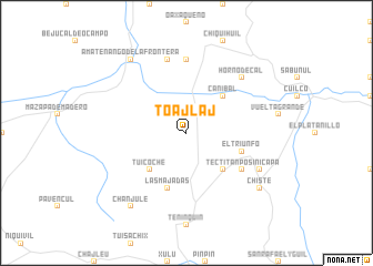
Toajlaj (Huehuetenango, Guatemala)Toajlaj is a town in the Huehuetenango region of Guatemala. An overview map of the region around Toajlaj is displayed below.
regional and 3d topo map of Toajlaj, Guatemala ::
Toajlaj airports ::
The nearest airport is TAP - Tapachula Intl, located 71.2 km south west of Toajlaj.
Other airports nearby include TGZ - Tuxtla Gutierrez Angel Albino Corzo (167.5 km north west), CBV - Coban (178.5 km east), GUA - Guatemala City La Aurora (186.9 km south east), Nearby towns ::
Tuicoche (5.1km south west) //
Caníbal (5.1km north east) //
Tectitán (5.1km south east) //
Las Majadas (5.8km south) //
El Triunfo (5.7km east) //
Los Manzanales (6.5km south east) //
La Laguna (7.4km north) //
El Rodeo (7.6km north) //
Horno de Cal (7.7km north east) //
Posinicapa (8.1km south east) //
Amatenango de la Frontera (9.1km north west) //
Chanjulé (9.1km south west) //
Chisté (9.1km south east) //
[all distances 'as the bird flies' and approximate] 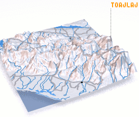 Places with similar names to Toajlaj, Guatemala :: Disclaimer :: Information on this page comes without warranty of any kind |
||
|
Where is Toajlaj? Elevation and coordinates ::
Latitude (lat): 15°22'0"N Longitude (lon): 92°4'0"W
Elevation (approx.): 1514m (map arrows pan, magnifying glasses zoom) |
||
|
Visiting Toajlaj? Hotel/Accommodation ::
Book a hotel in Toajlaj Travel Guide ::
Buy a travel guide for Guatemala rental cars ::
car rental offers GPS waypoint ::
download a GPX waypoint (PoI) of Toajlaj for your GPS receiver
|
||