|
search place name
|
||
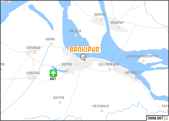
Bankipur (Bihār, India)Bankipur is a town in the Bihār region of India. An overview map of the region around Bankipur is displayed below.
regional and 3d topo map of Bankipur, India ::
Bankipur airports ::
The nearest airport is PAT - Patina Patna, located 6.8 km south west of Bankipur.
Other airports nearby include GAY - Gaya (98.7 km south), SIF - Simara (171.8 km north), YOP - Gorakhpur (210.6 km north west), DBO - Dhanbad (235.9 km south east), Nearby towns ::
Patna (3.8km south west) //
Gulzārbāgh (5.3km east) //
Paleza (5.8km north) //
Dīgha (7.6km north west) //
Hājīpur (10.0km north east) //
[all distances 'as the bird flies' and approximate] 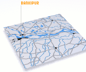 Places with similar names to Bankipur, India ::
// Ban Ko Prae (TH)
// Bangapur (BD)
// Bangpur (BD)
// Bānkīpur (BD)
// Bānkipur (BD)
// Bankāpur (IN)
// Bānkīpur (IN)
// Ban Kéo Pro (LA)
// Bangaoupri (CI)
Disclaimer :: Information on this page comes without warranty of any kind |
||
|
Where is Bankipur? Elevation and coordinates ::
Latitude (lat): 25°37'0"N Longitude (lon): 85°9'0"E
Elevation (approx.): 61m (map arrows pan, magnifying glasses zoom) |
||
|
Visiting Bankipur? Hotel/Accommodation ::
Book a hotel in Bankipur Travel Guide ::
Buy a travel guide for India rental cars ::
car rental offers GPS waypoint ::
download a GPX waypoint (PoI) of Bankipur for your GPS receiver
|
||