|
search place name
|
||
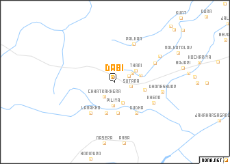
Dābi (Rājasthān, India)Dābi is a town in the Rājasthān region of India. An overview map of the region around Dābi is displayed below.
regional and 3d topo map of Dābi, India ::
Dābi airports ::
The nearest airport is KTU - Kota, located 33.7 km east of Dābi.
Other airports nearby include UDR - Udaipur (172.4 km west), JAI - Jaipur (193.7 km north), BHO - Bhopal (272.4 km south east), Nearby towns ::
Bhairūpura (2.2km north east) //
Sūtara (2.5km east) //
Chhāt ka Khera (2.8km south west) //
Thari (2.9km north east) //
Dasāliya (3.6km south) //
Pīliya (3.9km south) //
Thari (3.6km north east) //
Bhawānīpura (3.9km east) //
Chainpuriya (4.6km east) //
Rājpura (5.1km south) //
Naroli (5.3km south) //
Gudha (6.0km south east) //
Lāmākho (6.3km south west) //
Palkān (6.8km north east) //
Kanwarpura (6.6km north east) //
Khera (6.7km south east) //
Dhaneshwar (7.2km east) //
Kanwarpura (7.8km north east) //
[all distances 'as the bird flies' and approximate] 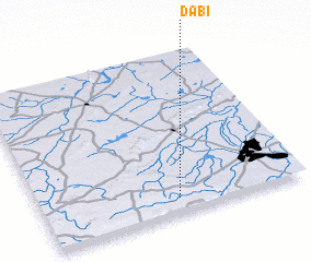 Places with similar names to Dābi, India ::
Disclaimer :: Information on this page comes without warranty of any kind |
||
|
Where is Dābi? Elevation and coordinates ::
Latitude (lat): 25°5'45"N Longitude (lon): 75°31'10"E
Elevation (approx.): 480m (map arrows pan, magnifying glasses zoom) |
||
|
Visiting Dābi? Hotel/Accommodation ::
Book a hotel in Dābi Travel Guide ::
Buy a travel guide for India rental cars ::
car rental offers GPS waypoint ::
download a GPX waypoint (PoI) of Dābi for your GPS receiver
|
||