|
search place name
|
||
Derodem (India)Derodem is a town in India. An overview map of the region around Derodem is displayed below.
regional and 3d topo map of Derodem, India ::

Derodem airports ::
The nearest airport is GOI - Goa, located 45.5 km south west of Derodem.
Other airports nearby include IXG - Belgaum (54.2 km north east), KLH - Kolhapur (120.0 km north), Nearby towns ::
Codal (0.0km north) //
Nanodem (1.9km south) //
Zarani (4.1km south east) //
Ustem (4.1km south west) //
Ambedem (5.1km south west) //
Nagorgao (5.7km west) //
Ambeachi-Gavol (5.8km north) //
Veluz (6.5km south west) //
Naneli (7.1km west) //
Tanem (7.4km west) //
Valpoy (9.1km south west) //
Nanuz (10.3km south west) //
Corqui (10.3km south west) //
[all distances 'as the bird flies' and approximate] 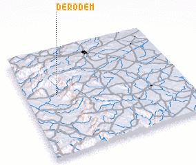 Places with similar names to Derodem, India ::
// Douar ed Doum (MA)
// Tortym (RU)
// Dratum (DE)
// Dordem (PT)
// Dirdomb (HU)
// Deredamı (TR)
// Tortum (TR)
// Douar Atouama (TN)
// Tratambe (MG)
// Dar-e Ādamī (IR)
Disclaimer :: Information on this page comes without warranty of any kind |
||
|
Where is Derodem? Elevation and coordinates ::
Latitude (lat): 15°35'0"N Longitude (lon): 74°12'0"E
Elevation (approx.): 123m (map arrows pan, magnifying glasses zoom) |
||
|
Visiting Derodem? Hotel/Accommodation ::
Book a hotel in Derodem Travel Guide ::
Buy a travel guide for India rental cars ::
car rental offers GPS waypoint ::
download a GPX waypoint (PoI) of Derodem for your GPS receiver
|
||