|
search place name
|
||
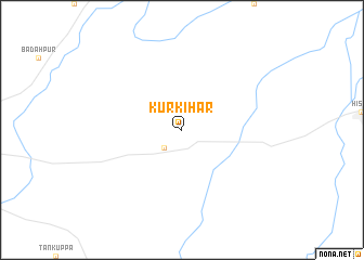
Kurkihār (Bihār, India)Kurkihār is a town in the Bihār region of India. An overview map of the region around Kurkihār is displayed below.
regional and 3d topo map of Kurkihār, India ::
Kurkihār airports ::
The nearest airport is GAY - Gaya, located 31.3 km west of Kurkihār.
Other airports nearby include PAT - Patina Patna (87.4 km north), DBO - Dhanbad (161.5 km south east), IXR - Ranchi Birsa Munda (166.6 km south), YOP - Gorakhpur (279.3 km north west), Nearby towns ::
Wazīrganj (2.5km south west) //
[all distances 'as the bird flies' and approximate] 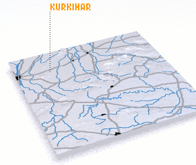 Places with similar names to Kurkihār, India ::
// Gorākhār (IN)
// Gūri Ākhar (IN)
// Kurkhera (IN)
// Gūr-e Khar (IR)
// Gūr-e Khār (IR)
// Gūr-e Khār (IR)
// Gara Khera (PK)
// Gura Khar (PK)
Disclaimer :: Information on this page comes without warranty of any kind |
||
|
Where is Kurkihār? Elevation and coordinates ::
Latitude (lat): 24°49'0"N Longitude (lon): 85°15'0"E
Elevation (approx.): 109m (map arrows pan, magnifying glasses zoom) |
||
|
Visiting Kurkihār? Hotel/Accommodation ::
Book a hotel in Kurkihār Travel Guide ::
Buy a travel guide for India rental cars ::
car rental offers GPS waypoint ::
download a GPX waypoint (PoI) of Kurkihār for your GPS receiver
|
||