|
search place name
|
||
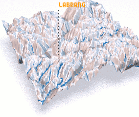
Lābrang (India)Lābrang is a town in India. An overview map of the region around Lābrang is displayed below.
regional and 3d topo map of Lābrang, India ::

Lābrang airports ::
The nearest airport is KUU - Kulu Kullu Manali, located 123.0 km west of Lābrang.
Other airports nearby include DED - Dehra Dun Dehradun (167.4 km south), IXC - Chandigarh (192.7 km south west), Nearby towns ::
 Places with similar names to Lābrang, India ::
// Labrang (PH)
// Lebring (AT)
// Labering (DE)
// La Barranca (PA)
// Lubraniec (PL)
// Luebbering (US)
// La Barranca (CO)
// La Barranca (GT)
// La Barranca (GT)
// La Barranca (GT)
Disclaimer :: Information on this page comes without warranty of any kind |
||
|
Where is Lābrang? Elevation and coordinates ::
Latitude (lat): 31°41'0"N Longitude (lon): 78°26'0"E
Elevation (approx.): 3269m (map arrows pan, magnifying glasses zoom) |
||
|
Visiting Lābrang? Hotel/Accommodation ::
Book a hotel in Lābrang Travel Guide ::
Buy a travel guide for India rental cars ::
car rental offers GPS waypoint ::
download a GPX waypoint (PoI) of Lābrang for your GPS receiver
|
||