|
search place name
|
||
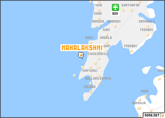
Mahalakshmi (Mahārāshtra, India)Mahalakshmi is a town in the Mahārāshtra region of India. An overview map of the region around Mahalakshmi is displayed below.
regional and 3d topo map of Mahalakshmi, India ::
Mahalakshmi airports ::
The nearest airport is BOM - Bombay Chhatrapati Shivaji Intl, located 13.7 km north east of Mahalakshmi.
Other airports nearby include PNQ - Pune (126.1 km east), ISK - Nasik Road (151.6 km north east), NMB - Daman (160.7 km north), Nearby towns ::
Cumballa Hill (1.9km south) //
Tardeo (2.6km south east) //
Mumbai (2.9km east) //
Chinchpokli (3.5km east) //
Byculla (4.0km south east) //
Ghorapdeo (4.0km south east) //
Mazgaon (4.0km south east) //
Malabar Hill (4.1km south west) //
Khetwādi (4.1km south east) //
Girgaum (4.1km south east) //
Naigaum (4.0km north east) //
Parel (4.0km north east) //
Worli (4.1km north east) //
Mandvi (5.1km south east) //
Sewri (5.6km east) //
Kālbā Devi (5.8km south) //
Ballard Estate (6.6km south east) //
Wadala (6.4km north east) //
Colāba (7.6km south) //
Mātunga (7.7km north east) //
Māhīm (7.7km north east) //
Sion (7.7km north east) //
Bāndra (8.2km north east) //
Dhārāvi (10.2km north east) //
[all distances 'as the bird flies' and approximate] 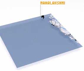 Places with similar names to Mahalakshmi, India :: Disclaimer :: Information on this page comes without warranty of any kind |
||
|
Where is Mahalakshmi? Elevation and coordinates ::
Latitude (lat): 18°59'0"N Longitude (lon): 72°48'0"E
Elevation (approx.): -32768m (map arrows pan, magnifying glasses zoom) |
||
|
Visiting Mahalakshmi? Hotel/Accommodation ::
Book a hotel in Mahalakshmi Travel Guide ::
Buy a travel guide for India rental cars ::
car rental offers GPS waypoint ::
download a GPX waypoint (PoI) of Mahalakshmi for your GPS receiver
|
||