|
search place name
|
||
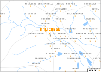
Malichedu (Andhra Pradesh, India)Malichedu is a town in the Andhra Pradesh region of India. An overview map of the region around Malichedu is displayed below.
regional and 3d topo map of Malichedu, India ::
Malichedu airports ::
The nearest airport is TIR - Tirupeti Tirupati, located 76.7 km south of Malichedu.
Other airports nearby include CDP - Cuddapah (106.2 km west), MAA - Madras Chennai Intl (152.3 km south), Nearby towns ::
Kalichedu (0.0km north) //
Degapūdi (2.6km north west) //
Turimerla (3.7km south) //
Kattubadipalli (3.6km east) //
Mudigodu (4.1km north west) //
Devaravemūru (4.0km south east) //
Tummalatalupūr (5.4km west) //
Gollapālem (5.4km east) //
Inukurti (5.8km north) //
Utukuru (5.8km south) //
Griddalūru (6.5km south east) //
Pārlapalli (6.6km north east) //
Biradavolu (6.6km north east) //
Podalakūr (7.4km north) //
Ūtukūru (7.4km south) //
Vadlapūdi (7.4km east) //
Pokkandala (7.6km south) //
Utsapālem (10.3km north west) //
Mittātukūru (10.3km south east) //
[all distances 'as the bird flies' and approximate] 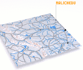 Places with similar names to Malichedu, India ::
// Malachite (US)
// Molisht (AL)
// Malashata (RU)
// Malyshata (RU)
// Malyye Chetai (RU)
// Malyye Shady (RU)
// Malyye Shidy (RU)
// Moleshet (ET)
// Malshat (KZ)
// Maylyshit (KZ)
Disclaimer :: Information on this page comes without warranty of any kind |
||
|
Where is Malichedu? Elevation and coordinates ::
Latitude (lat): 14°18'0"N Longitude (lon): 79°44'0"E
Elevation (approx.): 30m (map arrows pan, magnifying glasses zoom) |
||
|
Visiting Malichedu? Hotel/Accommodation ::
Book a hotel in Malichedu Travel Guide ::
Buy a travel guide for India rental cars ::
car rental offers GPS waypoint ::
download a GPX waypoint (PoI) of Malichedu for your GPS receiver
|
||