|
search place name
|
||
Pālmākūl (Andhra Pradesh, India)Pālmākūl is a town in the Andhra Pradesh region of India. An overview map of the region around Pālmākūl is displayed below.
regional and 3d topo map of Pālmākūl, India ::

Pālmākūl airports ::
The nearest airport is HYD - Hyderabad, located 34.5 km north east of Pālmākūl.
Nearby towns ::
Peddatupra (2.5km south) //
Kammāguda (2.6km west) //
Fātimāpur (3.3km south west) //
Gūdūr (3.3km north west) //
Mallāpur (3.3km west) //
Kotūr (4.1km south west) //
Lambadi Colony (4.6km north east) //
Nanājpur (5.0km north) //
Shahpur (5.2km north east) //
Golūr (5.6km east) //
Amīrpet (5.8km south east) //
Bhagirathiguda (6.1km east) //
Narsappaguda (6.2km south west) //
Kāsaram (6.5km north) //
Botuguda (6.6km north west) //
Rangāpur (7.0km south) //
Gundiguda (7.6km north east) //
Bondoniguda (7.7km west) //
Chagūr (7.7km west) //
Pinjarla (8.6km south) //
Maddūr (8.4km west) //
Narkuda (8.8km north east) //
Nandigaon (8.8km south west) //
Kalvākol (9.3km south east) //
Venkatāpuram (9.4km north west) //
Dūbacherla (11.1km south east) //
[all distances 'as the bird flies' and approximate] 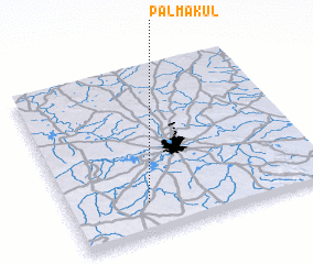 Places with similar names to Pālmākūl, India ::
// Palamaikkallu (LK)
// P'ulmu-gol (KP)
// Pulmuk-kol (KP)
// Pulmi-gol (KR)
// P'ulmu-gol (KR)
// Plum Coulee (CA)
// P'ulmu-gol (KP)
Disclaimer :: Information on this page comes without warranty of any kind |
||
|
Where is Pālmākūl? Elevation and coordinates ::
Latitude (lat): 17°11'8"N Longitude (lon): 78°18'5"E
Elevation (approx.): 580m (map arrows pan, magnifying glasses zoom) |
||
|
Visiting Pālmākūl? Hotel/Accommodation ::
Book a hotel in Pālmākūl Travel Guide ::
Buy a travel guide for India rental cars ::
car rental offers GPS waypoint ::
download a GPX waypoint (PoI) of Pālmākūl for your GPS receiver
|
||