|
search place name
|
||
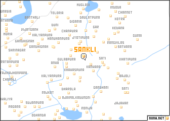
Sānkli (Rājasthān, India)Sānkli is a town in the Rājasthān region of India. An overview map of the region around Sānkli is displayed below.
regional and 3d topo map of Sānkli, India ::
Sānkli airports ::
The nearest airport is KTU - Kota, located 74.1 km south of Sānkli.
Other airports nearby include JAI - Jaipur (113.6 km north), UDR - Udaipur (221.5 km south west), Nearby towns ::
Kanwāra (1.5km south east) //
Bāmclāya (2.0km north) //
Kanwāra (2.8km south east) //
Lakshmīpura (3.1km north east) //
Ākoria (3.1km north east) //
Sangrāmganj (3.1km west) //
Khawāspura (3.6km south west) //
Dhinkala (3.8km south) //
Thokrāwās (3.7km north west) //
Sati (3.5km east) //
Kharoi (3.9km north) //
Gulābpura (3.7km west) //
Thikaria Kalan (3.9km east) //
Rāmpura (3.9km west) //
Jyotipura (4.3km north) //
Chānandpura (4.7km south) //
Chak Ānandpura (4.7km south) //
Syāwata (4.9km east) //
Fatehpura (5.2km south west) //
Māli ka Jhonpara (5.6km north) //
Kalyānpura (5.5km north east) //
Chānpura (6.4km north west) //
Dātunda (6.7km north) //
Anwa (6.2km west) //
Gār (6.9km north) //
Chandwār (6.6km north east) //
Hanumānpura (6.7km north west) //
Rangvilās (6.8km north east) //
Gothra (6.9km north west) //
[all distances 'as the bird flies' and approximate] 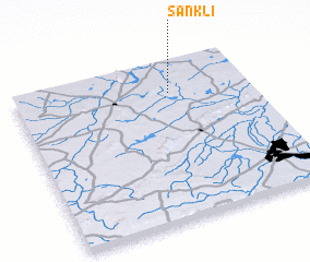 Places with similar names to Sānkli, India ::
Disclaimer :: Information on this page comes without warranty of any kind |
||
|
Where is Sānkli? Elevation and coordinates ::
Latitude (lat): 25°48'29"N Longitude (lon): 75°39'46"E
Elevation (approx.): 318m (map arrows pan, magnifying glasses zoom) |
||
|
Visiting Sānkli? Hotel/Accommodation ::
Book a hotel in Sānkli Travel Guide ::
Buy a travel guide for India rental cars ::
car rental offers GPS waypoint ::
download a GPX waypoint (PoI) of Sānkli for your GPS receiver
|
||