|
search place name
|
||
Ardai (Indonesia)Ardai is a town in Indonesia. An overview map of the region around Ardai is displayed below.
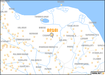
regional and 3d topo map of Ardai, Indonesia ::
Ardai airports ::
The nearest airport is CGK - Jakarta Soekarno Hatta Intl, located 66.7 km west of Ardai.
Nearby towns ::
Tamiyang (0.9km south west) //
Sumurlaban (1.8km north east) //
Jabon Satu (2.0km north) //
Ciguha (2.1km west) //
Gulampok (2.5km east) //
Kosambi (2.7km north west) //
Asem (3.2km south west) //
Bibese (4.1km north west) //
Ciwaru (4.2km east) //
Bolang (4.5km south east) //
Pisangsambo Satu (4.7km south) //
Kampungsawah 1 (5.6km south) //
Telindung (5.6km east) //
Pisangsambo 2 (6.0km south) //
Merakan (6.5km west) //
Tangkolo (6.7km east) //
Telukbango (6.8km south west) //
Rengas (6.8km south) //
Medangasem (7.0km south) //
Bakung (7.2km west) //
Tambaksumur (7.3km north west) //
Cicindet (7.5km south) //
Kedungjeruk (7.8km east) //
Telukambulu Satu (7.9km south west) //
Phang (7.9km south east) //
Tegalasem (8.0km north east) //
Sikuda (8.0km east) //
Pacina (8.3km south) //
Garon Dua (9.0km south west) //
[all distances 'as the bird flies' and approximate] 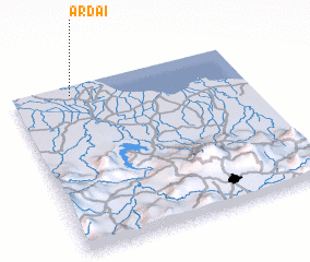 Places with similar names to Ardai, Indonesia ::
Disclaimer :: Information on this page comes without warranty of any kind |
||
|
Where is Ardai? Elevation and coordinates ::
Latitude (lat): 6°3'18"S Longitude (lon): 107°15'17"E
Elevation (approx.): 2m (map arrows pan, magnifying glasses zoom) |
||
|
Visiting Ardai? Hotel/Accommodation ::
Book a hotel in Ardai Travel Guide ::
Buy a travel guide for Indonesia rental cars ::
car rental offers GPS waypoint ::
download a GPX waypoint (PoI) of Ardai for your GPS receiver
|
||