|
search place name
|
||
Banyuurip (Indonesia)Banyuurip is a town in Indonesia. An overview map of the region around Banyuurip is displayed below.
regional and 3d topo map of Banyuurip, Indonesia ::
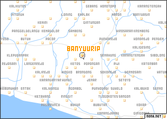
Nearby towns ::
Tegalrejo (1.8km east) //
Kedungkrandenan (1.9km north) //
Muntilan (1.8km west) //
Popongan (2.6km south east) //
Ketos (2.6km south west) //
Brondong (3.7km south) //
Plandi (4.1km south east) //
Pogungrejo (4.1km south west) //
Pangenjurutengah (5.2km north east) //
Wingko (5.2km south west) //
Semawung (5.5km east) //
Juruntengah (5.6km north) //
Sucen (5.6km north) //
Jenar (5.9km south) //
Sambeng (5.9km north) //
Cangkrep (6.6km north east) //
Purworejo (6.6km north east) //
Sokorejo (6.6km south east) //
Piyono (6.6km south west) //
Wunut (6.7km south west) //
Kemanukan (7.3km east) //
Piji (7.6km east) //
Gintungan (7.6km north) //
Ngombol (7.6km south) //
Semagung (8.2km south east) //
Purwodadi (8.3km south east) //
Dungus (8.2km south west) //
Pacor (8.2km north west) //
Kutoarjo (8.2km north west) //
[all distances 'as the bird flies' and approximate] 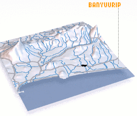 Places with similar names to Banyuurip, Indonesia ::
Disclaimer :: Information on this page comes without warranty of any kind |
||
|
Where is Banyuurip? Elevation and coordinates ::
Latitude (lat): 7°45'0"S Longitude (lon): 109°58'0"E
Elevation (approx.): 26m (map arrows pan, magnifying glasses zoom) |
||
|
Visiting Banyuurip? Hotel/Accommodation ::
Book a hotel in Banyuurip Travel Guide ::
Buy a travel guide for Indonesia rental cars ::
car rental offers GPS waypoint ::
download a GPX waypoint (PoI) of Banyuurip for your GPS receiver
|
||