|
search place name
|
||
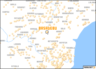
Basadebu (Nusa Tenggara Timur, Indonesia)Basadebu is a town in the Nusa Tenggara Timur region of Indonesia. An overview map of the region around Basadebu is displayed below.
regional and 3d topo map of Basadebu, Indonesia ::
Basadebu airports ::
The nearest airport is DIL - Dili Presidente Nicolau Lobato Intl, located 130.3 km north east of Basadebu.
Nearby towns ::
Lolobat (2.0km north) //
Kateri A (2.2km south west) //
Kateri B (2.6km south west) //
Betara (2.6km west) //
Fatukro (3.2km north west) //
Tubaki (3.5km east) //
Transat (3.5km east) //
Labarae (3.6km east) //
Manubono (3.7km north) //
Wepaha (3.9km north) //
Harekaen (3.9km north west) //
Betunkota (4.0km south east) //
Laran (4.1km south) //
Sukabibanawa (4.1km east) //
Bekabu (4.1km west) //
Kamanasa (4.2km east) //
Betun (4.2km south east) //
Webun (4.2km east) //
Betunkampung (4.4km south east) //
Fetisin (4.4km east) //
Manlia (4.4km east) //
Bakateo (4.4km south east) //
Akaknotak (4.4km west) //
Tualaran (4.6km north east) //
Builaran (4.6km west) //
Lootuan (4.7km east) //
Umakatahan (4.8km south east) //
Wetun (5.0km south) //
Tuamoro (5.0km north west) //
[all distances 'as the bird flies' and approximate] 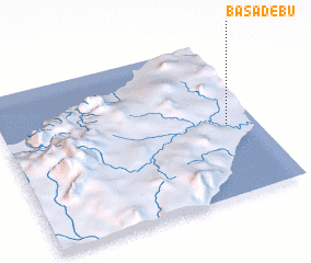 Places with similar names to Basadebu, Indonesia ::
Disclaimer :: Information on this page comes without warranty of any kind |
||
|
Where is Basadebu? Elevation and coordinates ::
Latitude (lat): 9°32'15"S Longitude (lon): 124°53'1"E
Elevation (approx.): 266m (map arrows pan, magnifying glasses zoom) |
||
|
Visiting Basadebu? Hotel/Accommodation ::
Book a hotel in Basadebu Travel Guide ::
Buy a travel guide for Indonesia rental cars ::
car rental offers GPS waypoint ::
download a GPX waypoint (PoI) of Basadebu for your GPS receiver
|
||