|
search place name
|
||
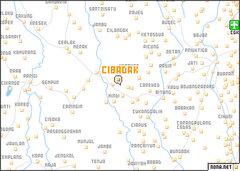
Cibadak (Indonesia)Cibadak is a town in Indonesia. An overview map of the region around Cibadak is displayed below.
regional and 3d topo map of Cibadak, Indonesia ::
Cibadak airports ::
The nearest airport is CGK - Jakarta Soekarno Hatta Intl, located 20.2 km north east of Cibadak.
Nearby towns ::
Bojong (1.2km west) //
Pabuaran (1.3km east) //
Bojong Dua (1.7km south) //
Telaga Satu (1.8km east) //
Sarongge (2.4km north) //
Kerawon (2.6km north east) //
Mindi (2.7km south) //
Pasirgadung Dua (3.2km east) //
Cikupa (3.2km south east) //
Pasirnangka (3.4km south west) //
Cilupa Satu (3.5km south east) //
Balaraja (4.2km north west) //
Carewed (4.7km east) //
Gintung (4.8km north east) //
Pabuaran (4.9km south east) //
Pasir Satu (5.0km west) //
Nalagat (5.8km south east) //
Sentul (5.8km west) //
Pasilpawi (5.8km north east) //
Pasarkemis (6.1km north east) //
Cukanggalih (6.5km south east) //
Bitung (7.0km east) //
Picung (7.1km north east) //
Tiga Raksa (7.3km south) //
Pasir (7.4km east) //
Cangkudu (7.4km west) //
Gandu (7.5km north) //
Ciapus (7.6km south) //
Cilongok (7.8km north) //
[all distances 'as the bird flies' and approximate] 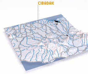 Places with similar names to Cibadak, Indonesia ::
Disclaimer :: Information on this page comes without warranty of any kind |
||
|
Where is Cibadak? Elevation and coordinates ::
Latitude (lat): 6°12'39"S Longitude (lon): 106°29'42"E
Elevation (approx.): 16m (map arrows pan, magnifying glasses zoom) |
||
|
Visiting Cibadak? Hotel/Accommodation ::
Book a hotel in Cibadak Travel Guide ::
Buy a travel guide for Indonesia rental cars ::
car rental offers GPS waypoint ::
download a GPX waypoint (PoI) of Cibadak for your GPS receiver
|
||